


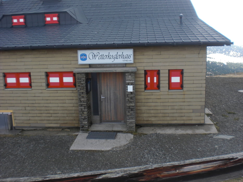
Von der Rabl Kreuz Hütte ging es direkt auf der Mautstraße zum Hochwechsel. Es war eine richtige Aprilwanderung mit Sonnenschein, strömenden Regen und Graupelschauer deshalb wurde es nichts aus der ursprünglich geplanten Runde sondern es ging nach erreichen des leider geschlossenen Wetterkoglhauses gleich wieder retour.
Further information at
http://www.rablkreuz-hochwechsel.at/Tour gallery

Tour map and elevation profile
Minimum height 1274 m
Maximum height 1746 m
More about the tour author
|
|
Yeti2333 |
Comments

Über die A2 kommend Abfahrt Pinggau - Richtung Rohrbach an der Lafnitz - Richtung - Mönichwald - weiter Richtung Waldbach und nach ca. 4 km kurz vor Waldbach - Richtung Hochwechsel rechts abbiegen siehe Hinweistafel Rabl-Kreuz.
GPS tracks
Trackpoints-
GPX / Garmin Map Source (gpx) download
-
TCX / Garmin Training Center® (tcx) download
-
CRS / Garmin Training Center® (crs) download
-
Google Earth (kml) download
-
G7ToWin (g7t) download
-
TTQV (trk) download
-
Overlay (ovl) download
-
Fugawi (txt) download
-
Kompass (DAV) Track (tk) download
-
Track data sheet (pdf) download
-
Original file of the author (gpx) download
More about the tour author
|
|
Yeti2333 |
Add to my favorites
Remove from my favorites
Edit tags
Open track
My score
Rate