
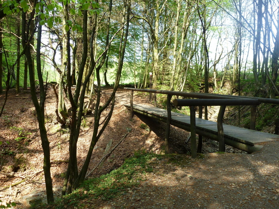

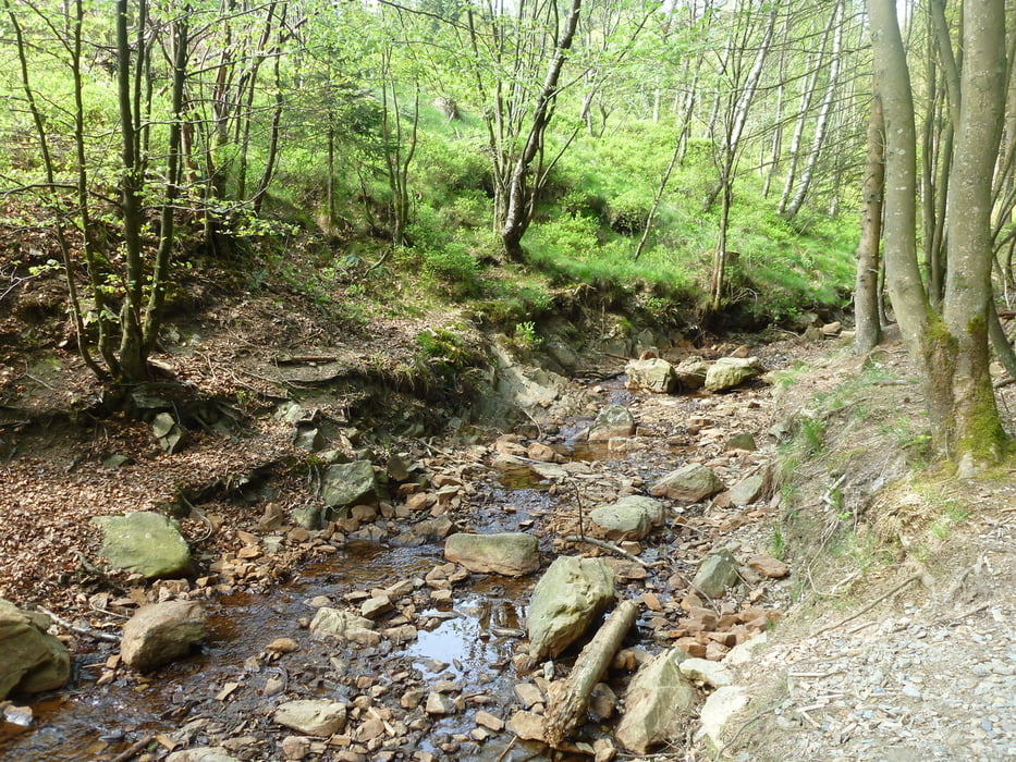
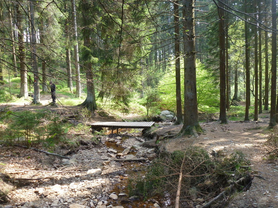
FR: Nous avons fait le tour avec un petit bout de 18 mois dans le sac à dos pour enfants. Elle a fortement apprécié la promenade en pleine nature. Le tour n'est pas du tout monotone, il y a des exercices tout au long du parcours. La boucle n'est pas apte aux personnes à mobilité réduite ou des poussettes.
NL: Met de spruit van 18 maanden op de rug hebben we tijdens deze ronde volop genoten van het afwisselende landschap en de wilde natuur. De lus is niet toegankelijk voor mensen die moeilijk te been zijn of kinderwagens.
Further information at
http://fr.slideshare.net/WaimesTourismTour gallery
Tour map and elevation profile
Minimum height 476 m
Maximum height 529 m
More about the tour author
|
|
AnVanRie |
Comments

Départ et arrivée:
Vertrek en aankomst:
Rue du G'Hâster
GPS tracks
Trackpoints-
GPX / Garmin Map Source (gpx) download
-
TCX / Garmin Training Center® (tcx) download
-
CRS / Garmin Training Center® (crs) download
-
Google Earth (kml) download
-
G7ToWin (g7t) download
-
TTQV (trk) download
-
Overlay (ovl) download
-
Fugawi (txt) download
-
Kompass (DAV) Track (tk) download
-
Track data sheet (pdf) download
-
Original file of the author (gpx) download
More about the tour author
|
|
AnVanRie |
Add to my favorites
Remove from my favorites
Edit tags
Open track
My score
Rate