
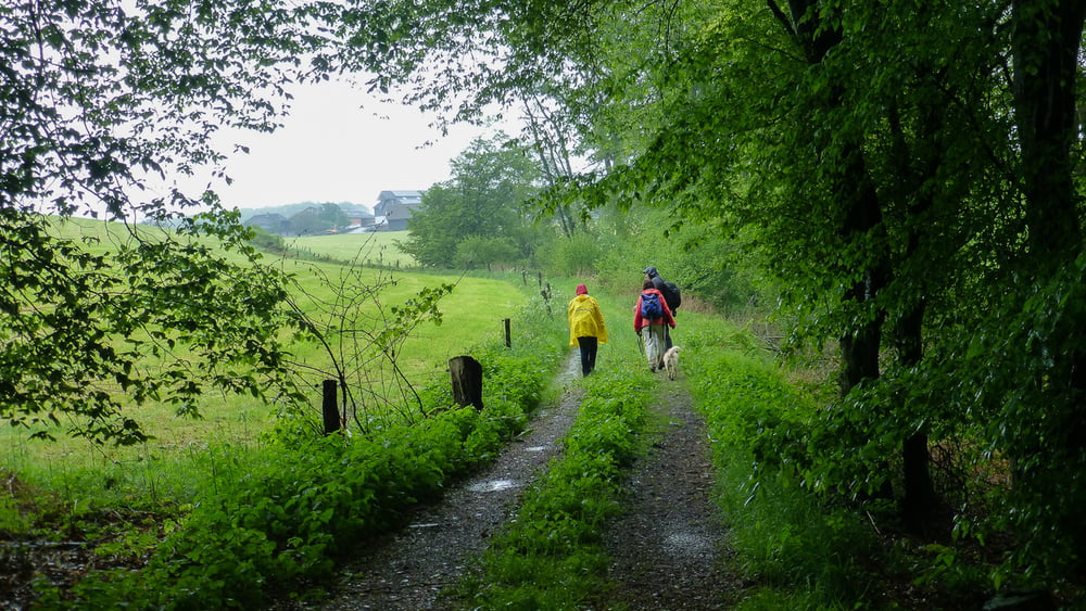

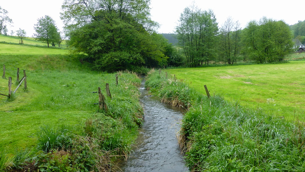
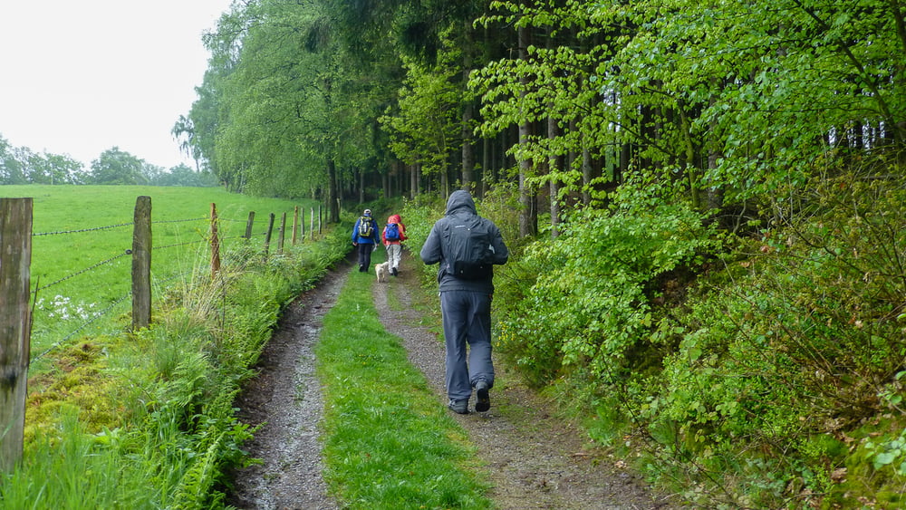
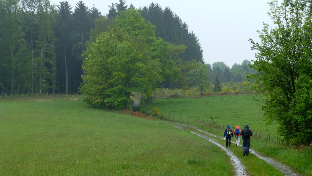
Ich beschreibe hier eine Rundwanderung von Wipperfürth entlang der Wupper, Sülz und Dhünn.
Die Wanderung führt uns vom Parkplatz in Wipperfürth, der ältesten Stadt im Bergischen Land, aus zum Agathaberg und nach Thier und über Kleineichhölzchen zurück nach Wipperführth. Unterwegs haben wir einen relativ hohen Anteil an asphaltierten Wegen, jedoch immer wieder sehr schöne Passagen mit lieblichen Wald- und Wiesenwegen und Pfaden.
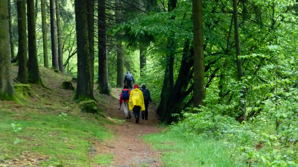
Zum Schluss wollte Thomas in Wippfürth im Brauhaus einkehren. Nach 4 1/2 Stunden wandern im Regen (10. Mai) waren die mit gewanderten Wasserratten jedoch mehrheitlich ...
Further information at
http://de.wikipedia.org/wiki/Wipperf%C3%BCrthTour gallery
Tour map and elevation profile
Minimum height 239 m
Maximum height 381 m
More about the tour author
|
|
ds5 |
Comments

Anfahrt: Wipperfürth, Sonnenweg 39: Parkplätze sind auf der linken Straßenseite vorhanden.
GPS tracks
Trackpoints-
GPX / Garmin Map Source (gpx) download
-
TCX / Garmin Training Center® (tcx) download
-
CRS / Garmin Training Center® (crs) download
-
Google Earth (kml) download
-
G7ToWin (g7t) download
-
TTQV (trk) download
-
Overlay (ovl) download
-
Fugawi (txt) download
-
Kompass (DAV) Track (tk) download
-
Track data sheet (pdf) download
-
Original file of the author (gpx) download
More about the tour author
|
|
ds5 |
Add to my favorites
Remove from my favorites
Edit tags
Open track
My score
Rate