


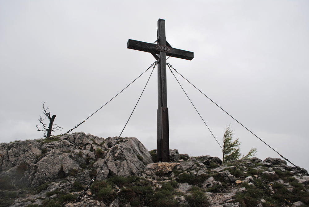
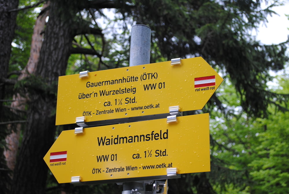
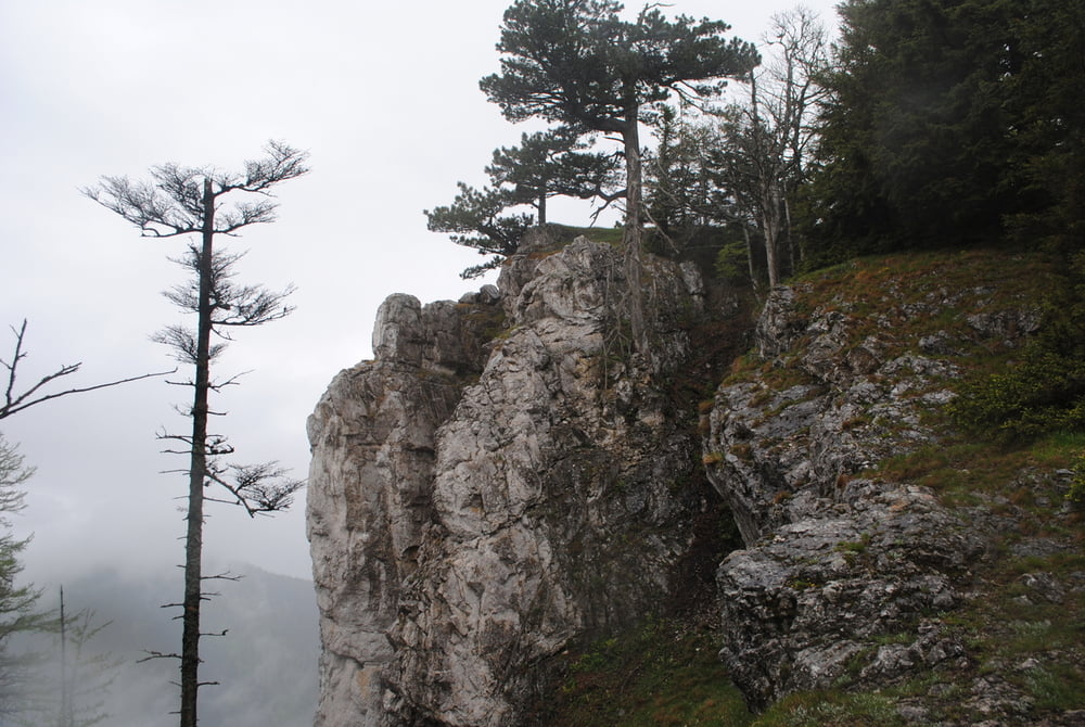
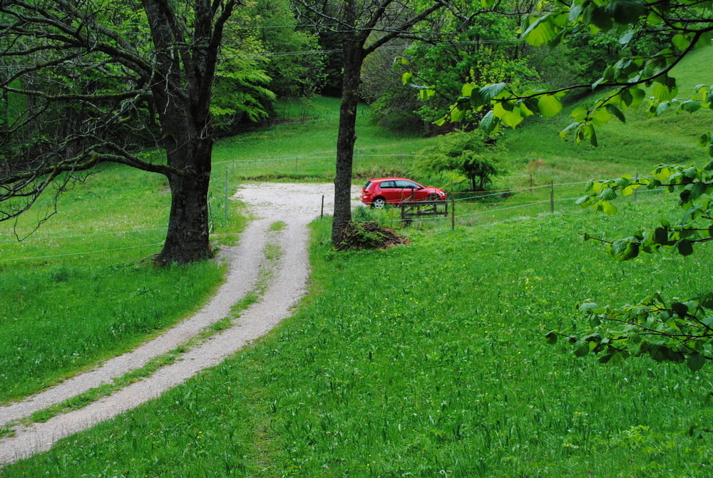
Parkplatz Gauermannhütte -Tiefenbach.Hoch zum Bauernhof Schweighof und rechts weiter durch den Wald bis zu einen Kreuzungspunkt.Dort links (beschildert) steil auf den Wurzlsteig über den Kamm bis zum Plattensteingipfel.Beeindruckender Rundblick.Rast in der Gauermannhütte(Achtung Öffnungszeiten beachten)bei ausgezeichneter Hausmannskost.Abstieg über den Ochsensteig zum Haselbauer und weiter zum Parkplatz.
Further information at
http://www.touristenklub.at/huetten/16.htmTour gallery
Tour map and elevation profile
Minimum height 727 m
Maximum height 1159 m
More about the tour author
|
|
LeoCheops |
Comments

GPS tracks
Trackpoints-
GPX / Garmin Map Source (gpx) download
-
TCX / Garmin Training Center® (tcx) download
-
CRS / Garmin Training Center® (crs) download
-
Google Earth (kml) download
-
G7ToWin (g7t) download
-
TTQV (trk) download
-
Overlay (ovl) download
-
Fugawi (txt) download
-
Kompass (DAV) Track (tk) download
-
Track data sheet (pdf) download
-
Original file of the author (gpx) download
More about the tour author
|
|
LeoCheops |
Add to my favorites
Remove from my favorites
Edit tags
Open track
My score
Rate