
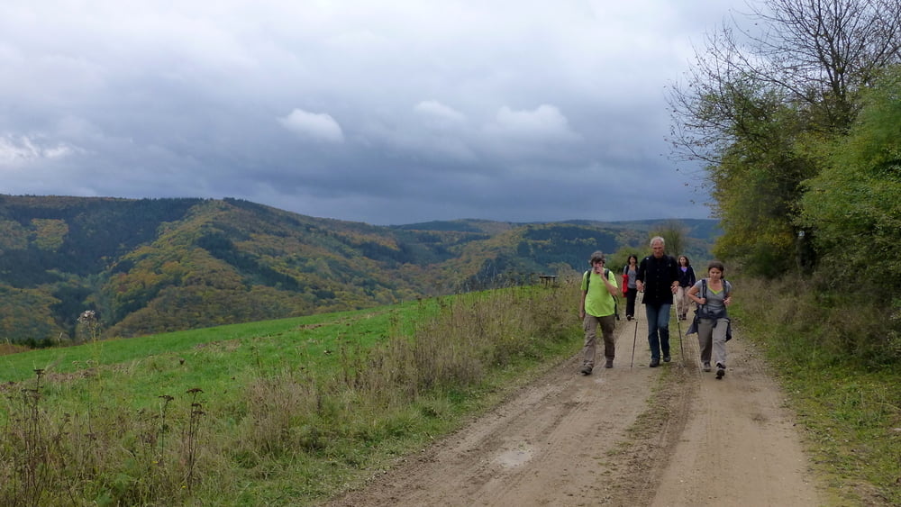

Leider komme ich erst jetzt dazu, hier eine schöne Rundtour vorzustellen, die wir im Oktober letzten Jahres mit Andrea gelaufen sind.
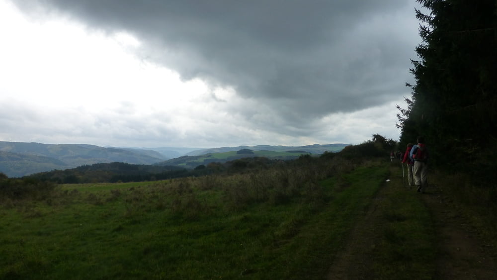
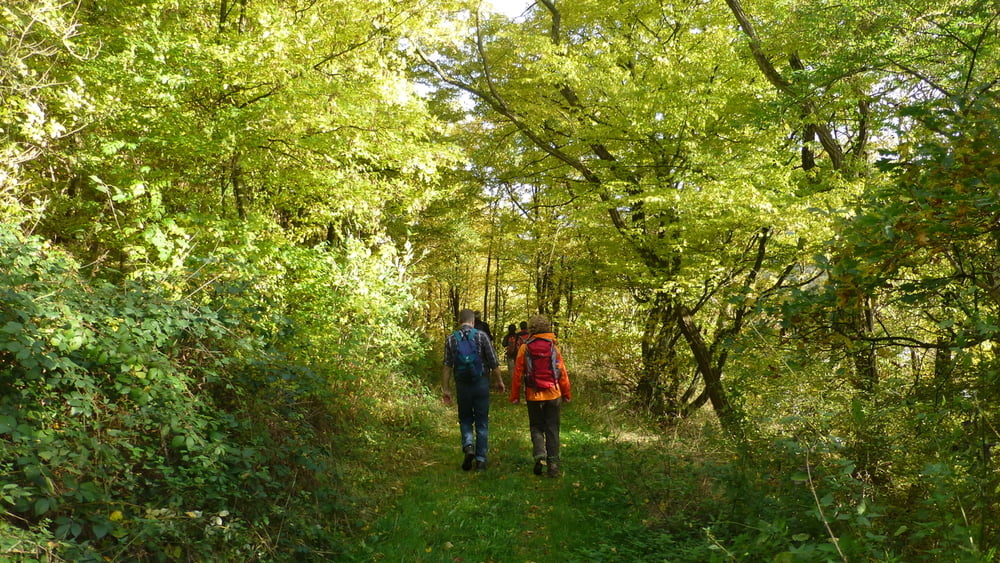
Es geht fast nur auf Wegen und Pfaden durch Wald und über aussichtsreiche Höhen der Eifel - einige Male auch ziemlich kräftezehrend.
Auf einem Teil der Wanderung folgen wir dem Ahrsteig.
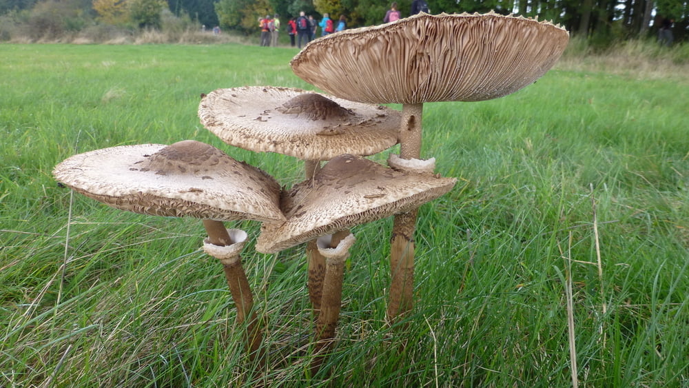
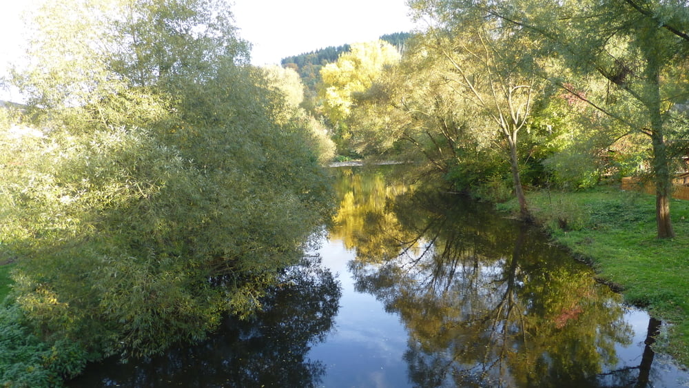
Im Herbst waren im Wald und auf den Wiesen jede Menge interessanter Pilze am Wegesrand zu bestaunen - und natürlich zu fotografieren.
Tour gallery
Tour map and elevation profile
Minimum height 218 m
Maximum height 429 m
More about the tour author
|
|
ds5 |
Comments

Insul liegt in der Eifel im hinteren Teil der Ahr (Zwischen Dümpelfeld und Schuld) und ist leider nicht mit dem Zug erreichbar.
Von Bonn benötigt man mit dem Auto ca. 45 Minuten, von Köln aus eine knappe Stunde.
GPS tracks
Trackpoints-
GPX / Garmin Map Source (gpx) download
-
TCX / Garmin Training Center® (tcx) download
-
CRS / Garmin Training Center® (crs) download
-
Google Earth (kml) download
-
G7ToWin (g7t) download
-
TTQV (trk) download
-
Overlay (ovl) download
-
Fugawi (txt) download
-
Kompass (DAV) Track (tk) download
-
Track data sheet (pdf) download
-
Original file of the author (gpx) download
More about the tour author
|
|
ds5 |
Add to my favorites
Remove from my favorites
Edit tags
Open track
My score
Rate