

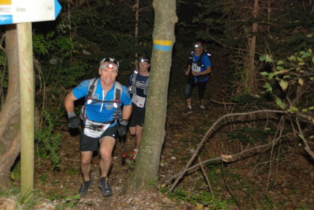
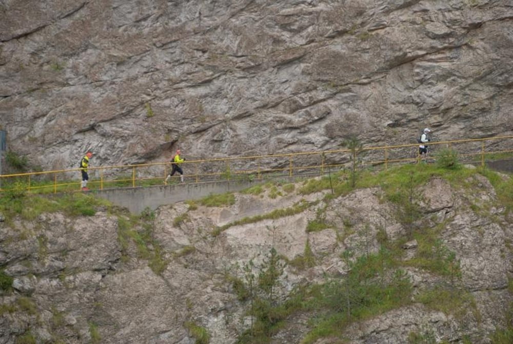
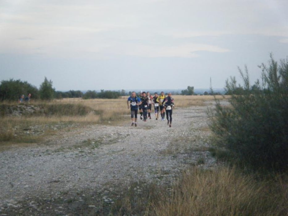
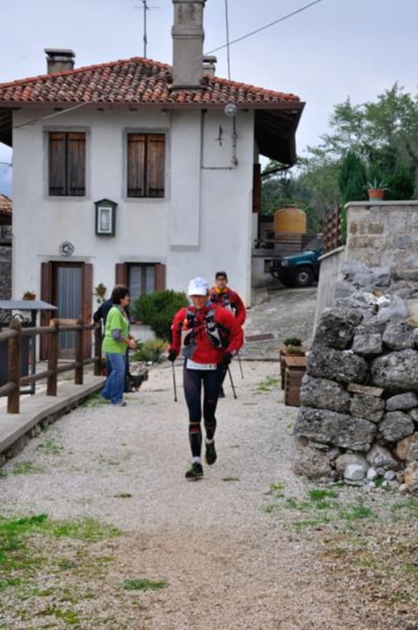
MMT 100 MILE is an ultra trail race of 158 km (100 miles) with a 7.704 d+ elevation which goes through some of the most beautiful landscapes of northeastern Italy (Friuli region).
There will be stones, grassy trails, rocks, up and down hills, ancient burgs, villages and much more.
Please study the roadbook and the rules carefully!
Further information at
http://www.mmt100mile.comTour gallery
Tour map and elevation profile
Minimum height 130 m
Maximum height 1487 m
More about the tour author

|
magredi |
Comments

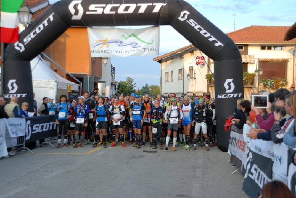
Started MMT 100 MILE Piazza Umberto I a Vivaro (PN). GPS: 46.07789N,12.775553E
BY CAR
Highway A4 exit Portogruaro (VE).
Follow highway A28 (no payment required) until Cimpello exit, direction Sequals.
4th exit (Vivaro).
At the cross turn left and go straight for 4 km until yopu reach Vivaro village and the main square.
BY TRAIN/BUS
Scendere alla stazione di Pordenone.
Arrive at Pordenone station and you will find the bus station.
Take a bus for Vivaro - Basaldella (timetable at http://www.atap.pn.it/index.aspx)
BY PLANE
Marco Polo Venice Airport
From here there are shuttles and buses for Pordenone (timetable at http://www.atap.pn.it/index.aspx).
GPS tracks
Trackpoints-
GPX / Garmin Map Source (gpx) download
-
TCX / Garmin Training Center® (tcx) download
-
CRS / Garmin Training Center® (crs) download
-
Google Earth (kml) download
-
G7ToWin (g7t) download
-
TTQV (trk) download
-
Overlay (ovl) download
-
Fugawi (txt) download
-
Kompass (DAV) Track (tk) download
-
Track data sheet (pdf) download
-
Original file of the author (gpx) download
More about the tour author
|
|
magredi |
Add to my favorites
Remove from my favorites
Edit tags
Open track
My score
Rate