


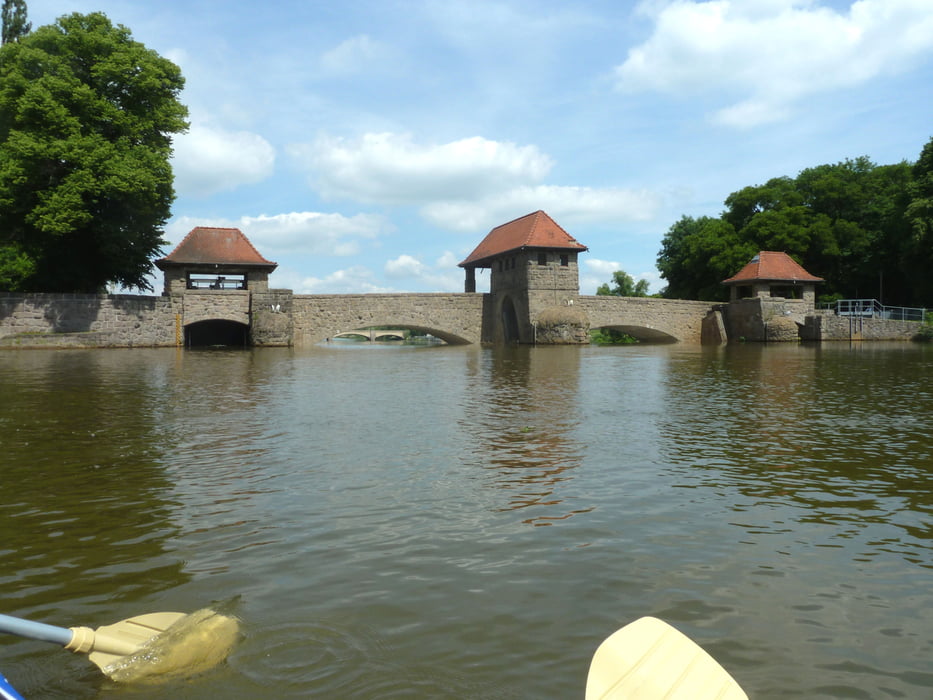
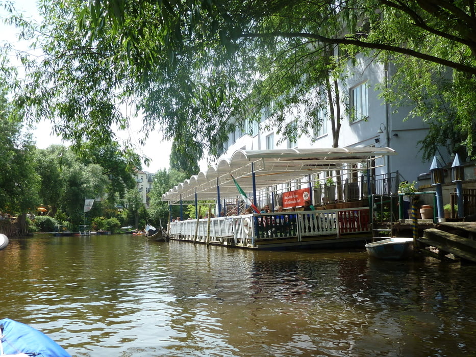
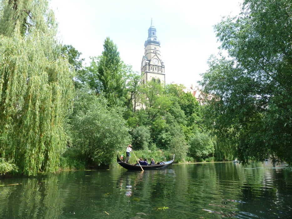
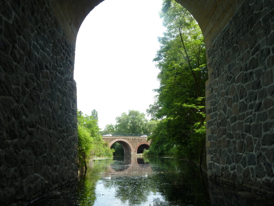
Wir haben unsere Tour am Elsterflutbett begonnen weil in der Ferdinand-Lasalle-Strasse ein Parkplatz direkt am Ufer frei war.Direkt links neben dem Palmgartenwehr kann man auch gut einsetzen.Es gib auch Bootsverleih.Die Tour führt vom Palmgartenwehr aus in die Weiße Elster und von da aus in den Karl-Heine-Kanal,welchen wir bis zum Ende befahren haben.(wird noch weiter ausgebaut).Zurück die gleiche Strecke.Sehr sehenswerte Architektur und trotzdem naturnah.Gute Einkehr an Restaurants direkt am Ufer.Vorsicht am Palmgartenwehr (schlecht beschildert), starker Schiffsverkehr bei manchmal geringer Kanalbreite)
Tour gallery
Tour map and elevation profile
Minimum height 100 m
Maximum height 159 m
More about the tour author

|
Arktur |
Comments

Parkplatz in der Nähe vom Palmgartenwehr suchen.
GPS tracks
Trackpoints-
GPX / Garmin Map Source (gpx) download
-
TCX / Garmin Training Center® (tcx) download
-
CRS / Garmin Training Center® (crs) download
-
Google Earth (kml) download
-
G7ToWin (g7t) download
-
TTQV (trk) download
-
Overlay (ovl) download
-
Fugawi (txt) download
-
Kompass (DAV) Track (tk) download
-
Track data sheet (pdf) download
-
Original file of the author (gpx) download
More about the tour author
|
|
Arktur |
Add to my favorites
Remove from my favorites
Edit tags
Open track
My score
Rate