Login

Forgot your login?

Cookies have to be accepted!
Your browser's cookie functionality is disabled. Please enable this functionality.

Not a member yet?

Register now
Login

Available for registred users only

Log in to use this feature.

Forgot your login?

Cookies have to be accepted!
Your browser's cookie functionality is disabled. Please enable this functionality.

Not a member yet?

Register now
Filter
Categories
Advanced filters
  • Distance (km)
  • Height
Save filters Reset filter

TrackRank

QRCode

Technical data

Distance14,1 km Height491 m Way down443 m Duration05:00 h:m Date30.05.2014
Scores Author Landscape Fun factor Fitness Technique

Statistics

577 Views Scores 63 Downloads Average
Rate
  • Track data sheet
  • Directions
  • Downloads

Capri zu Fuß erkunden.
Vom Hafen mit dem Bus zur Stadt. Dann geht es zu Fuß über die Insel.
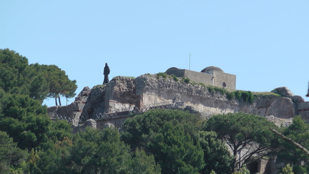
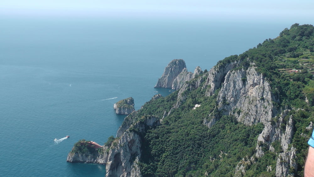
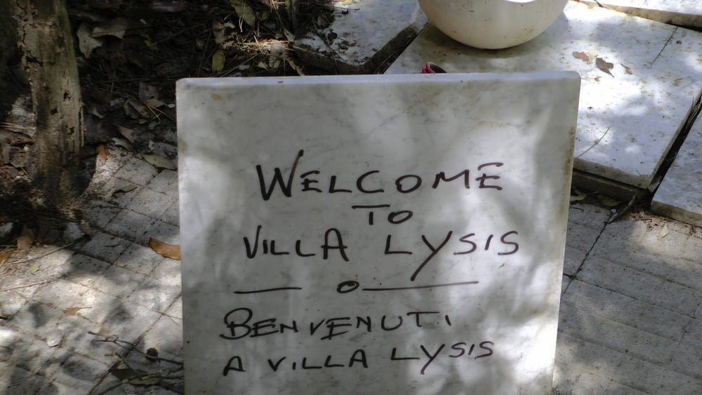
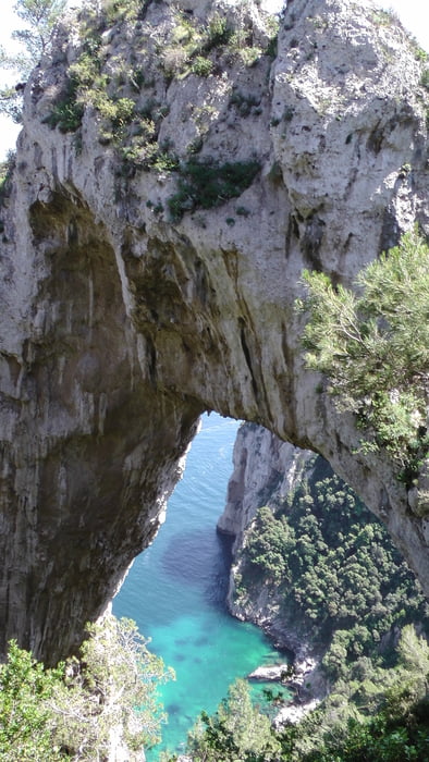
 

Tour gallery

Tour map and elevation profile

  • Open Street Map
  • Google
Minimum height -26 m Maximum height 334 m Detailed view

More about the tour author

JZE
Member since 2009

Send private message

Comments

Anreise mit dem Schiff


GPS tracks

Trackpoints
  • GPX / Garmin Map Source (gpx) download
  • TCX / Garmin Training Center® (tcx) download
  • CRS / Garmin Training Center® (crs) download
  • Google Earth (kml) download
  • G7ToWin (g7t) download
  • TTQV (trk) download
  • Overlay (ovl) download
  • Fugawi (txt) download
  • Kompass (DAV) Track (tk) download
  • Track data sheet (pdf) download
  • Original file of the author (gpx) download

More about the tour author

JZE
Member since 2009

Send private message
Share track
Add to my favorites
Remove from my favorites
Edit tags
My score
Rate
Track: Capri abseits der Touriewege
Type: Sightseeing
Distance: 14,1 km
Evaluated on:
Duration:
Day(s)
Hour(s)
Minute(s)
Score: Landscape Fun factor Fitness Technique