


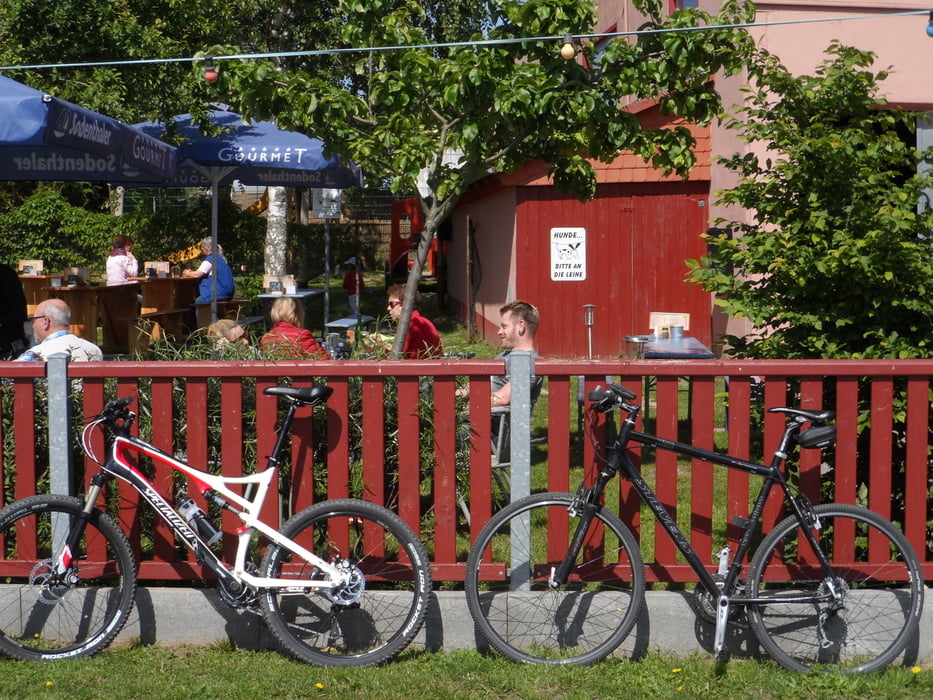
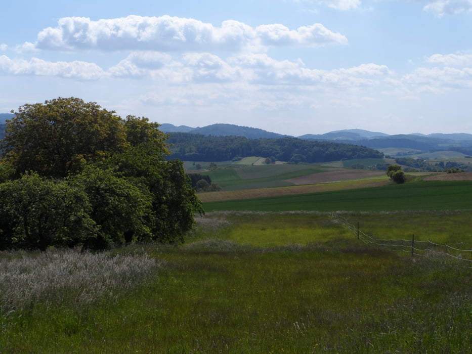
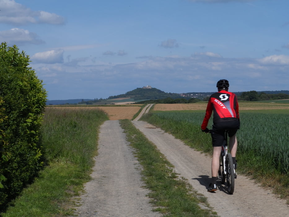
Schöne kurze Rundtour am Rande des nördlichen Odenwaldes von Dieburg über Rheinheim hinüber zur Veste Otzberg und zurück. Auf halber Strecke Zwangspause im Biergarten ... :-)
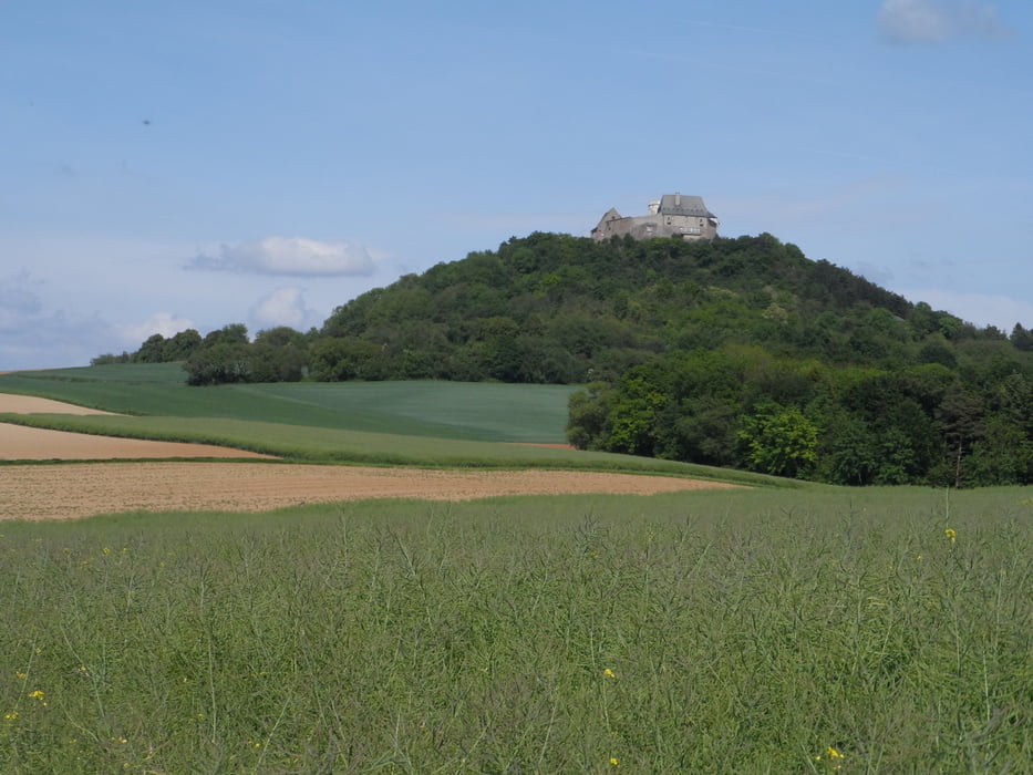
Auf der Veste Otzberg, die wir diesmal auf unserer Tour ausgelassen haben, die aber wirklich einen Abstecher lohnt, findet man ein Museum mit einer Sonderausstellung zu volkskundlichen und kulturhistorischen Themen und die empfehlenswerte Burgschänke.
Further information at
http://de.wikipedia.org/wiki/Veste_OtzbergTour gallery
Tour map and elevation profile
Minimum height 140 m
Maximum height 268 m
More about the tour author
|
|
riemchens |
Comments

auf der B26 nach Dieburg und Start der Tour z.B. am Schwimmbad in Richtung Klein-Zimmern und dann dem Track folgend. Parkplätze findet man ebenfalls am Schwimmbad.
GPS tracks
Trackpoints-
GPX / Garmin Map Source (gpx) download
-
TCX / Garmin Training Center® (tcx) download
-
CRS / Garmin Training Center® (crs) download
-
Google Earth (kml) download
-
G7ToWin (g7t) download
-
TTQV (trk) download
-
Overlay (ovl) download
-
Fugawi (txt) download
-
Kompass (DAV) Track (tk) download
-
Track data sheet (pdf) download
-
Original file of the author (gpx) download
More about the tour author
|
|
riemchens |
Add to my favorites
Remove from my favorites
Edit tags
Open track
My score
Rate