Login

Forgot your login?

Cookies have to be accepted!
Your browser's cookie functionality is disabled. Please enable this functionality.

Not a member yet?

Register now
Login

Available for registred users only

Log in to use this feature.

Forgot your login?

Cookies have to be accepted!
Your browser's cookie functionality is disabled. Please enable this functionality.

Not a member yet?

Register now
Filter
Categories
Advanced filters
  • Distance (km)
  • Height
Save filters Reset filter

TrackRank

QRCode

Technical data

Distance34,2 km Height262 m Way down265 m Duration03:00 h:m Date01.06.2014
Scores Author Landscape Fun factor Fitness Technique

Statistics

456 Views Scores 63 Downloads Average
Rate
  • Track data sheet
  • Directions
  • Downloads

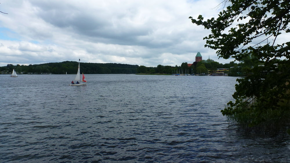
Gruppentour rund um den Küchensee und Ratzeburger See

Im Rahmen der diesjährigen, mehrtägigen Himmelfahrtstour wurde u.a. die Umrundung der o.a. Seen durchgeführt.

Start- und Zielpunkt war die Farchauer Mühle am Küchensee.

Tour gallery

Tour map and elevation profile

  • Open Street Map
  • Google
Minimum height 4 m Maximum height 56 m Detailed view

More about the tour author

sommi4
Member since 2008

Send private message

Comments

GPS tracks

Trackpoints
  • GPX / Garmin Map Source (gpx) download
  • TCX / Garmin Training Center® (tcx) download
  • CRS / Garmin Training Center® (crs) download
  • Google Earth (kml) download
  • G7ToWin (g7t) download
  • TTQV (trk) download
  • Overlay (ovl) download
  • Fugawi (txt) download
  • Kompass (DAV) Track (tk) download
  • Track data sheet (pdf) download
  • Original file of the author (gpx) download

More about the tour author

sommi4
Member since 2008

Send private message
Share track
Add to my favorites
Remove from my favorites
Edit tags
My score
Rate
Track: Umrundung Küchensee + RatzeburgerSee
Type: Trekkingbike
Distance: 34,2 km
Evaluated on:
Duration:
Day(s)
Hour(s)
Minute(s)
Score: Landscape Fun factor Fitness Technique