


Hallo zusammen,
heute ein kleine Rennrad-Feierabendrunde. Nicht´s besonders, nur eine schöne Strecke da man 90% auf gut asphaltierten Radwegen fahren kann. Nur das Stück von Truchtlaching nach Hörpolding fährt man auf einer Landstraße, diese ist jedoch wenig befahren.
Die Strecke hat keine besonderen Schwierigkeiten, mehr sie noch um ca.10km ausweiten will, fährt in Seeon noch um den See rum.
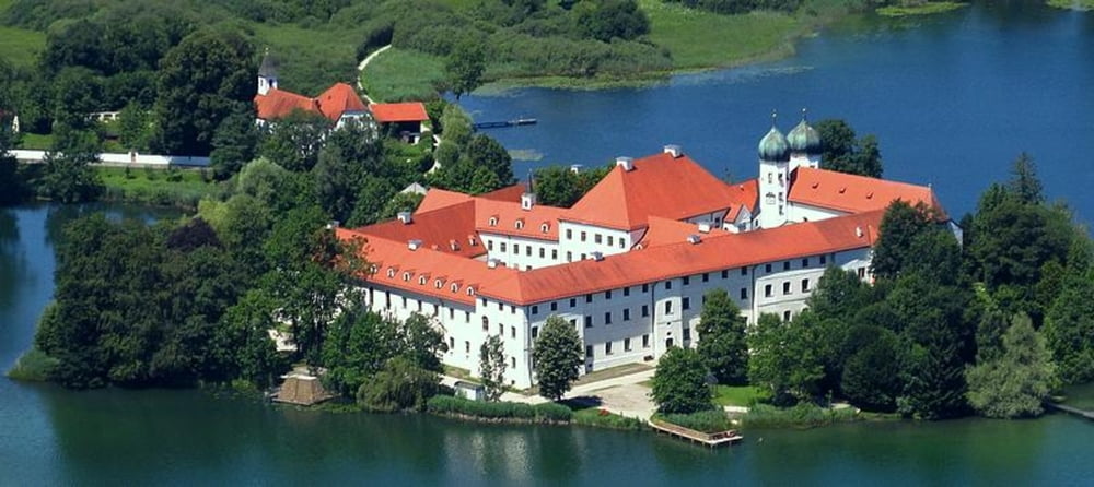
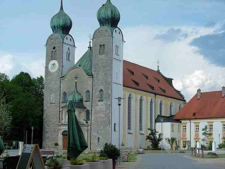
Tourenverlauf: Tacherting - Schalchen - Trostberg - Altenmarkt - Seeon - Truchtlaching - Hörpolding - St. Georgen - Stein an der Alz - Altenmarkt - Trostberg - Tacherting
Charakter: einfache Rennradtour, kleine Anstiege, nicht schwer
Biin sie mit den Rennrad gefahren, eignet sich aber auch für MTB oder Trekingrad, ist total egal.
Viel Spass beim nachfahren und eine schöne Bikesaison.
Further information at
http://www.tacherting.deTour gallery
Tour map and elevation profile
Minimum height 407 m
Maximum height 571 m
More about the tour author
|
|
andi084 |
Comments

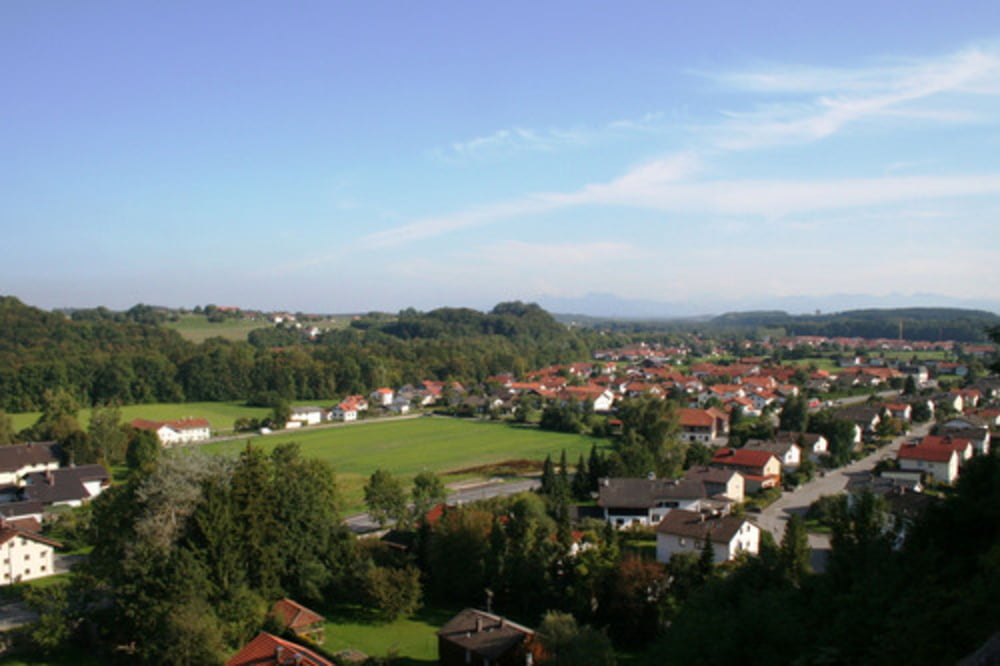
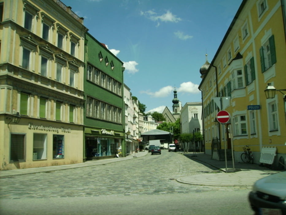
Tacherting liegt direkt an der B299 zwischen Traunstein und Altötting, jeweils ca. 25km entfernt, Trostberg und Garching an der Alz ca. 6km entfernt, parken kann man direkt an der B299 beim Gasthof zur Post oder beim Rathaus, von hier startet auch die Tour.
GPS tracks
Trackpoints-
GPX / Garmin Map Source (gpx) download
-
TCX / Garmin Training Center® (tcx) download
-
CRS / Garmin Training Center® (crs) download
-
Google Earth (kml) download
-
G7ToWin (g7t) download
-
TTQV (trk) download
-
Overlay (ovl) download
-
Fugawi (txt) download
-
Kompass (DAV) Track (tk) download
-
Track data sheet (pdf) download
-
Original file of the author (gpx) download
More about the tour author
|
|
andi084 |
Add to my favorites
Remove from my favorites
Edit tags
Open track
My score
Rate