Login

Forgotten password?

Cookies have to be accepted!
Your browser's cookie functionality is disabled. Please enable this functionality.

Not a member yet?

Register now
Login

Available for registred users only

Log in to use this feature.

Forgotten password?

Cookies have to be accepted!
Your browser's cookie functionality is disabled. Please enable this functionality.

Not a member yet?

Register now
Filter
Categories
Advanced filters
  • Distance (km)
  • Height
Save filters Reset filter

TrackRank

QRCode

Technical data

Distance48,2 km Height1383 m Way down1377 m Duration04:30 h:m Date16.06.2014
Scores Author Landscape Fun factor Fitness Technique

Statistics

875 Views Scores 259 Downloads Average
Rate
  • Track data sheet
  • Directions
  • Downloads
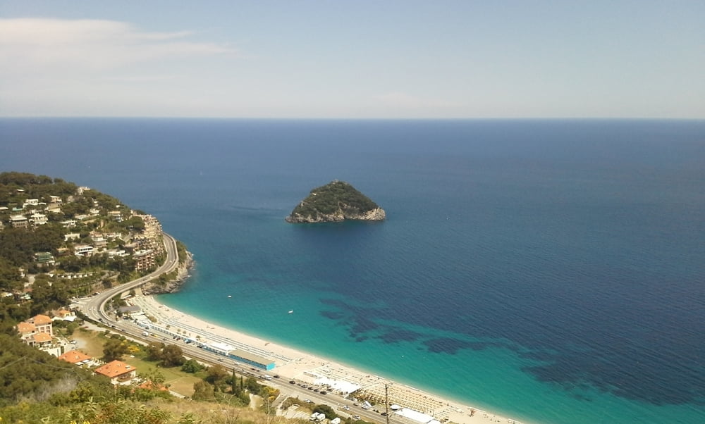
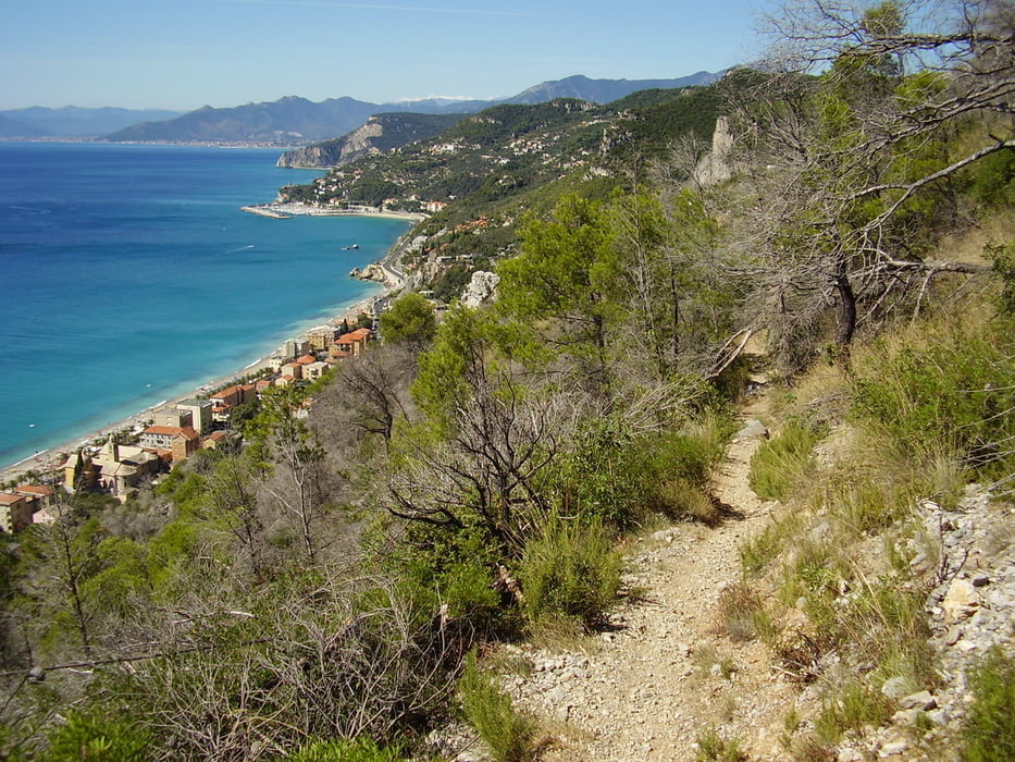
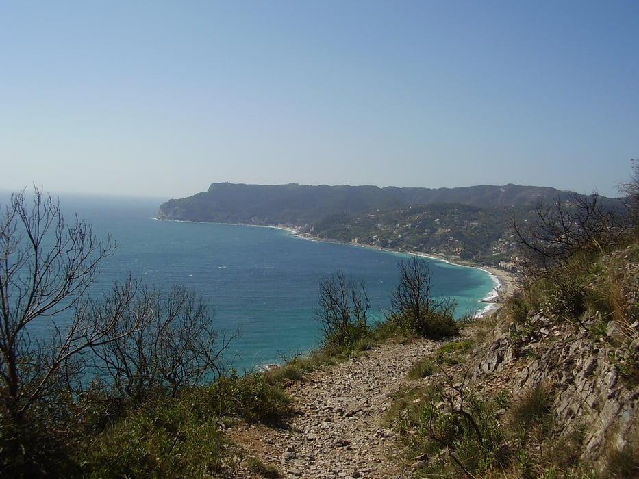
schöne trails an der küste mit  toller aussicht  auf varigotti. nach dem aufstieg nach s. georgio geht es nach spotorno, mit  super aussicht  auf isola di bergeggi.

Tour gallery

Tour map and elevation profile

  • Open Street Map
  • Google
Minimum height Maximum height 474 m Detailed view

More about the tour author

terrerosse
Member since 2014

Send private message

Comments

GPS tracks

Trackpoints
  • GPX / Garmin Map Source (gpx) download
  • TCX / Garmin Training Center® (tcx) download
  • CRS / Garmin Training Center® (crs) download
  • Google Earth (kml) download
  • G7ToWin (g7t) download
  • TTQV (trk) download
  • Overlay (ovl) download
  • Fugawi (txt) download
  • Kompass (DAV) Track (tk) download
  • Track data sheet (pdf) download
  • Original file of the author (gpx) download

More about the tour author

terrerosse
Member since 2014

Send private message
Share track
Add to my favorites
Remove from my favorites
Edit tags
My score
Rate
Track: Küstentrails
Type: Mountain bike
Distance: 48,2 km
Evaluated on:
Duration:
Day(s)
Hour(s)
Minute(s)
Score: Landscape Fun factor Fitness Technique