


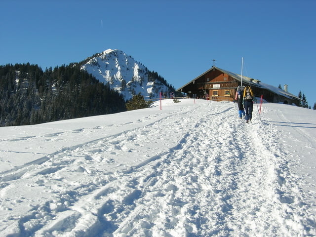
Klassischer Weg auf die Aueralm. Im Winter leicht zu gehen.
Super Aussicht bei klarem Wetter.
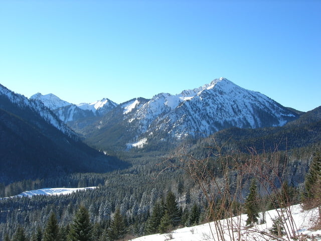
Super Aussicht bei klarem Wetter.
Further information at
http://www.tegernsee.deTour gallery
Tour map and elevation profile
Minimum height 660 m
Maximum height 1273 m
More about the tour author

|
smartandem |
Comments

Von der A8 bei Holzkirchen auf die Bundesstraße nach Miesbach und dann nach Bad Wiessee. In der Söllbachklamm kann man gut parken.
GPS tracks
Trackpoints-
GPX / Garmin Map Source (gpx) download
-
TCX / Garmin Training Center® (tcx) download
-
CRS / Garmin Training Center® (crs) download
-
Google Earth (kml) download
-
G7ToWin (g7t) download
-
TTQV (trk) download
-
Overlay (ovl) download
-
Fugawi (txt) download
-
Kompass (DAV) Track (tk) download
-
Track data sheet (pdf) download
-
Original file of the author (g7t) download
More about the tour author
|
|
smartandem |
Add to my favorites
Remove from my favorites
Edit tags
Open track
My score
Rate