
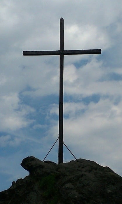

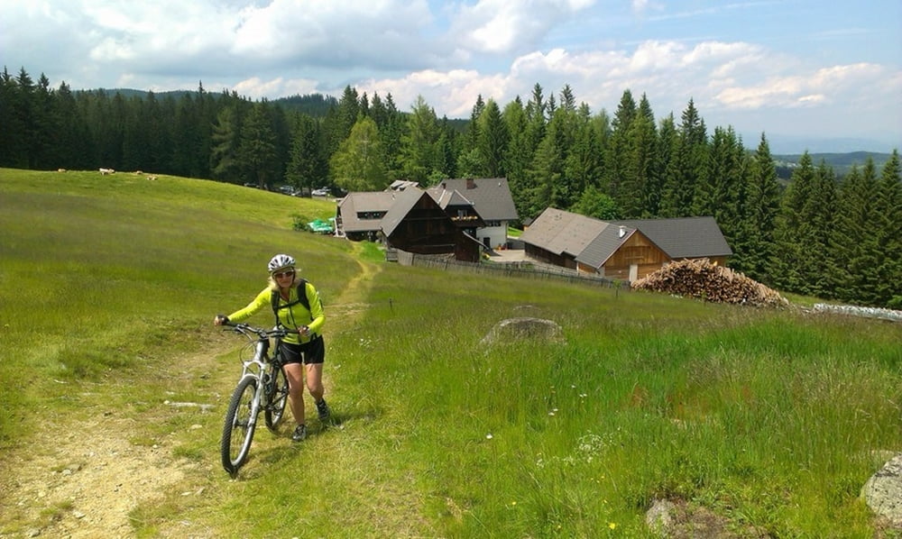
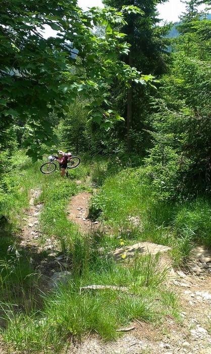
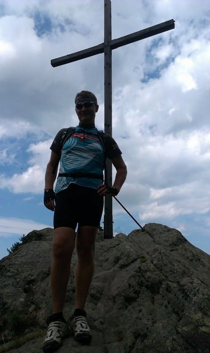
Von Deutschlandsberg aus geht über Gams nach Stainz und weiter nach Marhof.Bis da hin ist Asphalt.Weiter geht es auf Schotter,und zuerst mal steil,weiter zum Klugveitel.Beim Klugveitel muss man das Bike mal ein Stück auf einem Wanderweg nach oben schieben.Weiter geht es auf einer Forststraße zum Absetzwirt.Da gibt es sehr gutes Essen.Zum empfehlen ist das Brandteigkrapferl das man sich sicher schon verdient hat.100m höher liegt dann das Rosenkogelkreuz,das man auf dem letzten Stück auch nur durch schieben erreicht.Auf einem Trail geht es wieder zurück auf die Forststraße.Zwischen gibt es wieder einen Trail.Bis man dann wieder in Richtung Wildbach fährt.Au der Ebene angelangt geht es nach Deutschlandsberg und da gibt es einen Abstecher zum Valentino auf ein leckeresd Eis........Ausklang.Die Tour verläuft sehr viel auf Schotter.
Tour gallery
Tour map and elevation profile
Minimum height 345 m
Maximum height 1363 m
More about the tour author
|
|
plazo100 |
Comments

GPS tracks
Trackpoints-
GPX / Garmin Map Source (gpx) download
-
TCX / Garmin Training Center® (tcx) download
-
CRS / Garmin Training Center® (crs) download
-
Google Earth (kml) download
-
G7ToWin (g7t) download
-
TTQV (trk) download
-
Overlay (ovl) download
-
Fugawi (txt) download
-
Kompass (DAV) Track (tk) download
-
Track data sheet (pdf) download
-
Original file of the author (gpx) download
More about the tour author
|
|
plazo100 |
Add to my favorites
Remove from my favorites
Edit tags
Open track
My score
Rate