


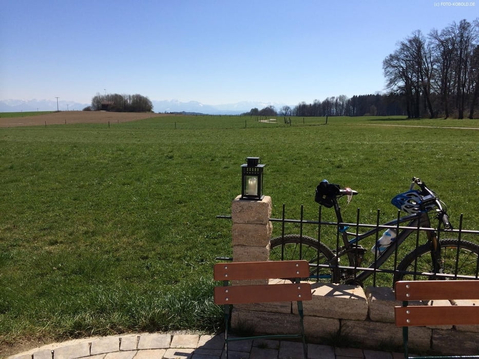
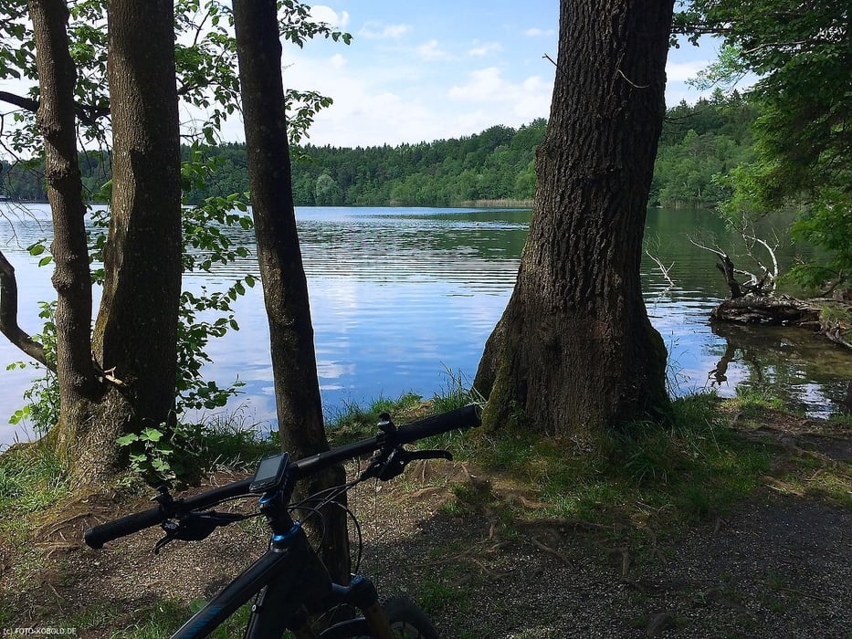
Eine Rundtour mit schönen Ausblicken und abwechslungsreichen Strecken.
Zum Teil steile Anstiege zum "Drücken", die Tour ist in ca. 2:45 h reine Fahrzeit zu machen.
Einkehrmöglichkeiten im Cafe West, Herrmannsdorfer (http://www.herrmannsdorfer.de/home/), am Reitstall Steinsee (in Niederseeon) und am Ende der Tour im Biergarten Leiberheim.
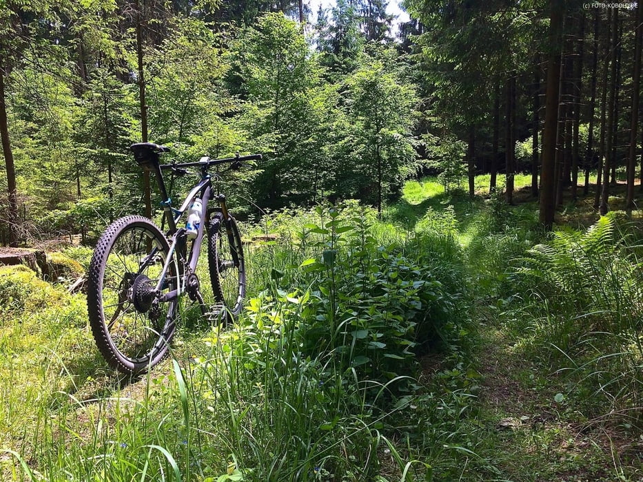
Wenn man Putzbrunn verlassen hat verläuft die Tour meist im schattigen Wald auf Schotter-Forst/Feldwegen.
Enthält auch einen kurzen verwurzelten Singletrail zum Üben :-)
Tour gallery

Tour map and elevation profile
Minimum height 464 m
Maximum height 613 m
More about the tour author
|
|
Canyon_Dale |
Comments

Start- und Endepunkte sind am Rathaus in Neubiberg, die S-Bahn ist dort in der Nähe.
GPS tracks
Trackpoints-
GPX / Garmin Map Source (gpx) download
-
TCX / Garmin Training Center® (tcx) download
-
CRS / Garmin Training Center® (crs) download
-
Google Earth (kml) download
-
G7ToWin (g7t) download
-
TTQV (trk) download
-
Overlay (ovl) download
-
Fugawi (txt) download
-
Kompass (DAV) Track (tk) download
-
Track data sheet (pdf) download
-
Original file of the author (gpx) download
More about the tour author
|
|
Canyon_Dale |
Add to my favorites
Remove from my favorites
Edit tags
Open track
My score
Rate