


Stilfser-Joch
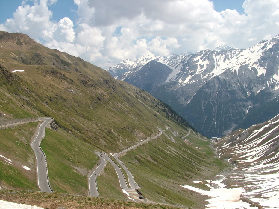
die klassische Route von Spondigna über Prad zum Stilfser Joch, danach
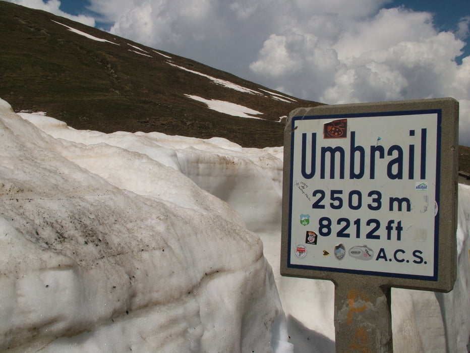
über den Umbrail-Pass ins Val Müstair und dann nach Mals zum Bahnhof.
Die Tour ist landschaftlich sehr reizvoll wobei jedoch schon eine gewisse
Grundkondition vorhanden sein sollte, die abfahrt über den Umbrail-Pass
ist von Verkehr her sehr gut zu Fahrenkaum Motorräder oder Autos.
Further information at
http://www.vinschgerbahn.it/Tour gallery
Tour map and elevation profile
Minimum height 853 m
Maximum height 2762 m
More about the tour author
|
|
Sibimalko |
Comments

Von Meran aus mit der Bahn bis Spondigna und von Mals wieder mit der Bahn nach Meran
GPS tracks
Trackpoints-
GPX / Garmin Map Source (gpx) download
-
TCX / Garmin Training Center® (tcx) download
-
CRS / Garmin Training Center® (crs) download
-
Google Earth (kml) download
-
G7ToWin (g7t) download
-
TTQV (trk) download
-
Overlay (ovl) download
-
Fugawi (txt) download
-
Kompass (DAV) Track (tk) download
-
Track data sheet (pdf) download
-
Original file of the author (gpx) download
More about the tour author
|
|
Sibimalko |
Add to my favorites
Remove from my favorites
Edit tags
Open track
My score
Rate