Login

Forgotten password?

Cookies have to be accepted!
Your browser's cookie functionality is disabled. Please enable this functionality.

Not a member yet?

Register now
Login

Available for registred users only

Log in to use this feature.

Forgotten password?

Cookies have to be accepted!
Your browser's cookie functionality is disabled. Please enable this functionality.

Not a member yet?

Register now
Filter
Categories
Advanced filters
  • Distance (km)
  • Height
Save filters Reset filter

TrackRank

QRCode

Technical data

Distance27,4 km Height280 m Way down259 m Duration02:45 h:m Date04.02.2008
Scores Author Landscape Fun factor Fitness Technique

Statistics

526 Views Scores 76 Downloads Average
Rate
  • Track data sheet
  • Directions
  • Downloads
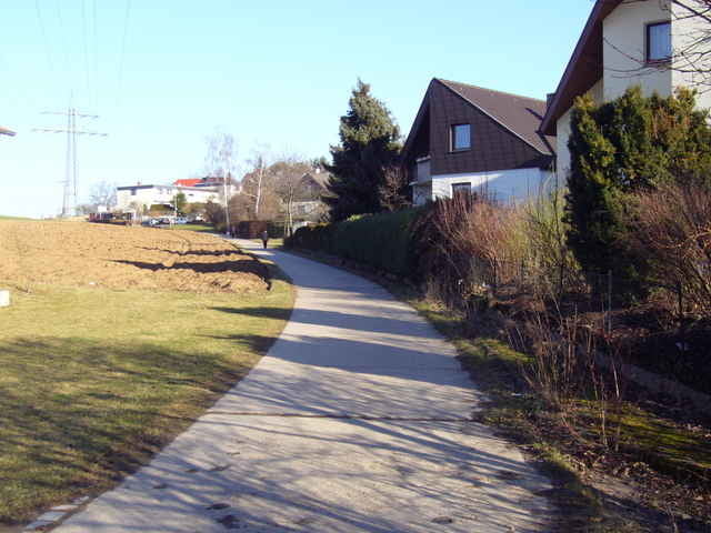
Herrlicher Rundkurs von Ditzingen durch Glemstal, hoch nach Gebersheim. Weiter nach Rutesheim und über Höfingen zurück nach Ditzingen. Mit 260Hm ein welliger Kurs. Der Einstieg kann auch an jedem anderen Ort z.B. in Höfingen, Gebersheim oder Rutesheim erfolgen.

Tour map and elevation profile

  • Open Street Map
  • Google
Minimum height 280 m Maximum height 474 m Detailed view

More about the tour author

Jürgen Kaub
Member since 2007

Send private message

Comments

GPS tracks

Trackpoints
  • GPX / Garmin Map Source (gpx) download
  • TCX / Garmin Training Center® (tcx) download
  • CRS / Garmin Training Center® (crs) download
  • Google Earth (kml) download
  • G7ToWin (g7t) download
  • TTQV (trk) download
  • Overlay (ovl) download
  • Fugawi (txt) download
  • Kompass (DAV) Track (tk) download
  • Track data sheet (pdf) download
  • Original file of the author (gpx) download

More about the tour author

Jürgen Kaub
Member since 2007

Send private message
Share track
Add to my favorites
Remove from my favorites
Edit tags
My score
Rate
Track: 28km Ditzingen - Rutesheim und zurück
Type: Running
Distance: 27,4 km
Evaluated on:
Duration:
Day(s)
Hour(s)
Minute(s)
Score: Landscape Fun factor Fitness Technique