Login

Forgotten password?

Cookies have to be accepted!
Your browser's cookie functionality is disabled. Please enable this functionality.

Not a member yet?

Register now
Login

Available for registred users only

Log in to use this feature.

Forgotten password?

Cookies have to be accepted!
Your browser's cookie functionality is disabled. Please enable this functionality.

Not a member yet?

Register now
Filter
Categories
Advanced filters
  • Distance (km)
  • Height
Save filters Reset filter

TrackRank

QRCode

Technical data

Distance39,5 km Height177 m Way down193 m Duration02:30 h:m Date29.06.2014
Scores Author Landscape Fun factor Fitness Technique

Statistics

188 Views Scores 24 Downloads Average
Rate
  • Track data sheet
  • Directions
  • Downloads

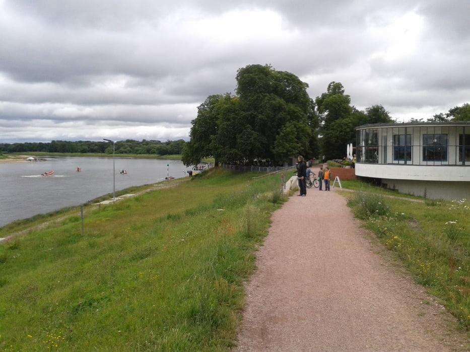
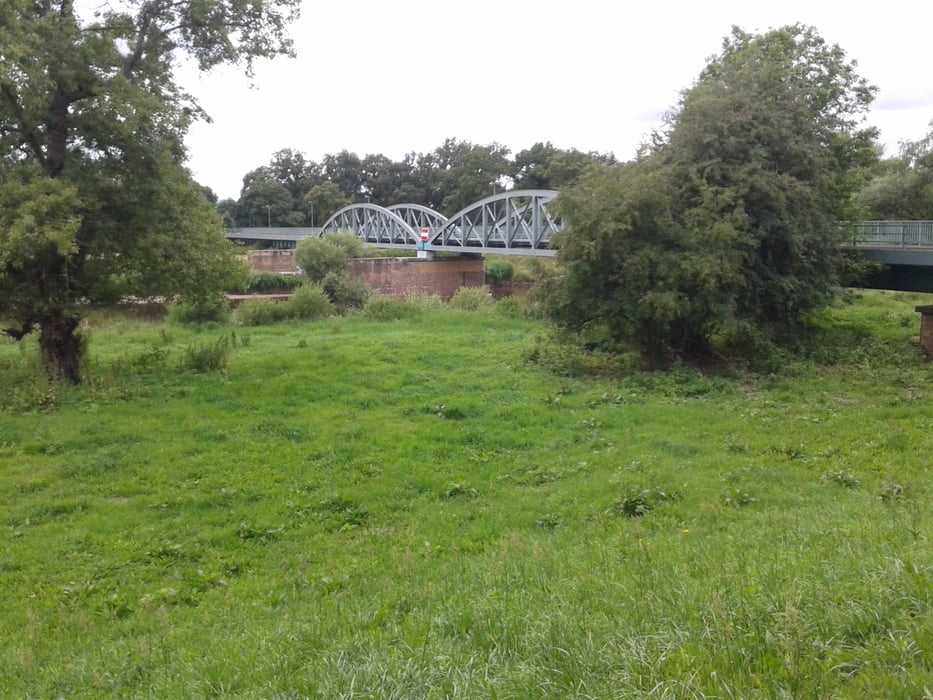
Die Tour um Dessau nutzt weitgehend den gut ausgeschilderten Fürst-Franz-Radwanderweg sowie in Teilbereichen den Elberadweg. Die Strecke ist sehr gut befahrbar. Sie verläuft durch Parkanlagen, über gepflasterte oder alphaltierte Forstwege und Siedlungsstraßen.


Tour gallery

Tour map and elevation profile

  • Open Street Map
  • Google
Minimum height 78 m Maximum height 121 m Detailed view

More about the tour author

Ingo-Dessau
Member since 2013

Send private message

Comments


GPS tracks

Trackpoints
  • GPX / Garmin Map Source (gpx) download
  • TCX / Garmin Training Center® (tcx) download
  • CRS / Garmin Training Center® (crs) download
  • Google Earth (kml) download
  • G7ToWin (g7t) download
  • TTQV (trk) download
  • Overlay (ovl) download
  • Fugawi (txt) download
  • Kompass (DAV) Track (tk) download
  • Track data sheet (pdf) download
  • Original file of the author (gpx) download

More about the tour author

Ingo-Dessau
Member since 2013

Send private message
Share track
Add to my favorites
Remove from my favorites
Edit tags
My score
Rate
Track: Rund um Dessau
Type: Bicycle tours
Distance: 39,5 km
Evaluated on:
Duration:
Day(s)
Hour(s)
Minute(s)
Score: Landscape Fun factor Fitness Technique