


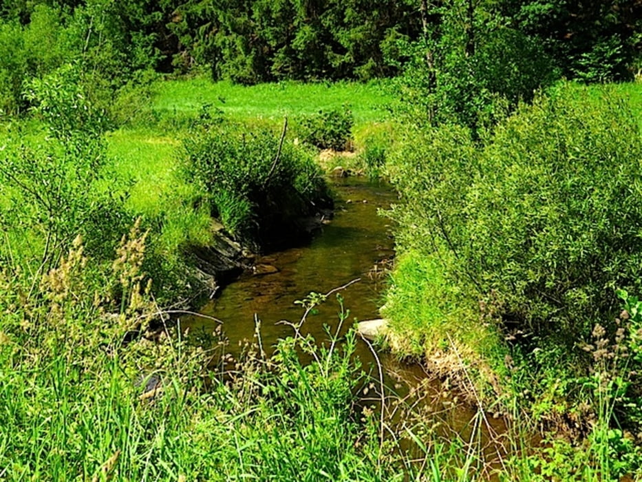
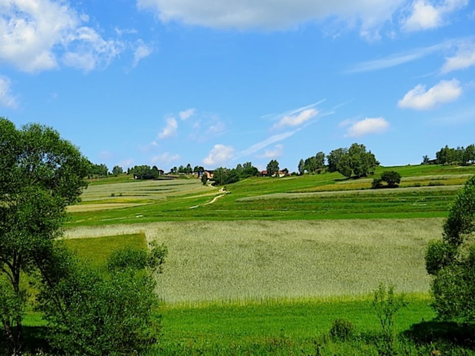
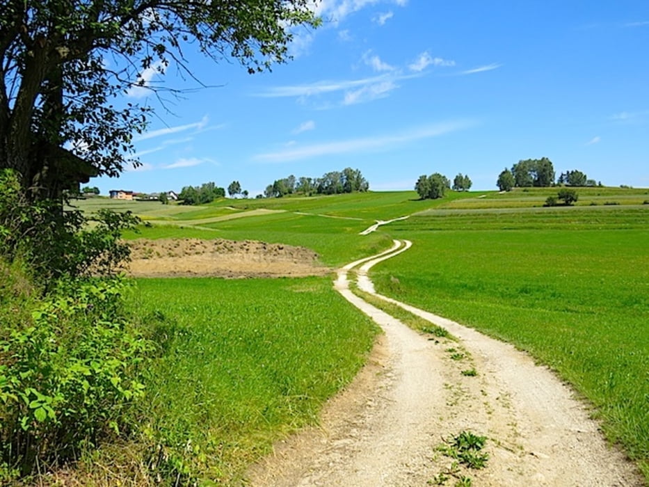
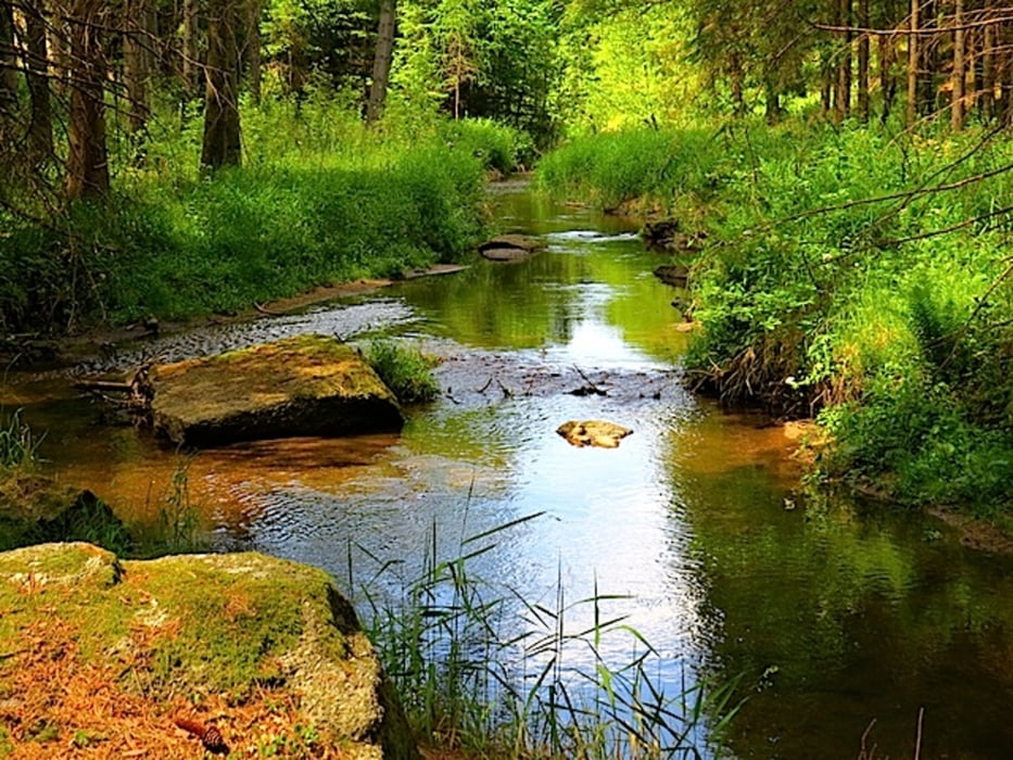
Rund um das Herz-Kreislauf-Zentrum in Groß Gerungs entstand eine Reihe von neuen Wanderrouten in verschiedenen Längen. Wir wandern vom Ausgangspunkt bei der Info-Tafel gegenüber dem Eingang zum Herz-Kreislauf-Zentrum durch den Xundwärts-Parcour Richtung Hypolz. Ein kurzer Waldweg bringt uns in eine typische Waldviertler Landschaft. Nach Hypolz wendet sich der Weg Richtung Süden und es geht am sogenannten „Mühlbacher Straßls“ bis zur Neumühle. Hier biegen wir in einen Feldweg ab und wandern durch Frauendorf zurück ins Zwettltal. Hier geht es links entlang der Zwettl bis zu einem Steg und zurück zum Ausgangspunkt.
Mehr Info und Deine Meinung in meinem Wanderblog - schau doch mal vorbei!
Karten:
Info-Tafel beim Ausgangspunkt gegenüber dem Eingang zum Herz-Kreislauf-Zentrum
Austria Map Ost (BEV)
Wander-, Rad- und Freizeitkarte WK111 1:50.000, herausgegeben von Freytag & Berndt
Further information at
http://www.zwalk.at/muehlenweg/Tour gallery
Tour map and elevation profile
Minimum height 672 m
Maximum height 787 m
More about the tour author
|
|
Jonny |
Comments

Per Auto - Parkplätze am Besucherparkplatz beim Herz-Kreislauf-Zentrum in Groß Gerungs
• nördlich Zwettl Richtung Groß Gerungs
• östlich Zwettl Richtung Groß Gerungs
• südlich Westautobahn A1 Abfahrt Ybbs, Würnsdorf, Ottenschlag, Zwettl Richtung Groß Gerungs
GPS tracks
Trackpoints-
GPX / Garmin Map Source (gpx) download
-
TCX / Garmin Training Center® (tcx) download
-
CRS / Garmin Training Center® (crs) download
-
Google Earth (kml) download
-
G7ToWin (g7t) download
-
TTQV (trk) download
-
Overlay (ovl) download
-
Fugawi (txt) download
-
Kompass (DAV) Track (tk) download
-
Track data sheet (pdf) download
-
Original file of the author (gpx) download
More about the tour author
|
|
Jonny |
Add to my favorites
Remove from my favorites
Edit tags
Open track
My score
Rate