

gut & günstig :)
1. Gut
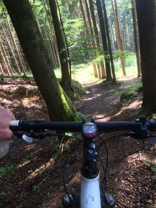
-gute Wege - selbst im Juli nicht zugewachsen oder nur ganz kurze Abschnitte
-guter Mix - wenig Teer, bissl Treppen (auch hinauf) , Trails, Forstwege, schnelle Passagen
2. Günstig
-günstig zu erreichen ,- ob von LA Mitte, Ergolding, Altdorf , Pfettrach ....du kannst überall einsteigen
Überhaupt: Fun ohne Ende weil abwechslungsreich
:) VIEL SPASS und Danke für eine Bewertung
Tour map and elevation profile
Minimum height 354 m
Maximum height 520 m
More about the tour author
|
|
UweEibel |
Comments

Start und Einkehr bei FIT PLUS www.fit-plus.info
GPS tracks
Trackpoints-
GPX / Garmin Map Source (gpx) download
-
TCX / Garmin Training Center® (tcx) download
-
CRS / Garmin Training Center® (crs) download
-
Google Earth (kml) download
-
G7ToWin (g7t) download
-
TTQV (trk) download
-
Overlay (ovl) download
-
Fugawi (txt) download
-
Kompass (DAV) Track (tk) download
-
Track data sheet (pdf) download
-
Original file of the author (gpx) download
More about the tour author
|
|
UweEibel |
Add to my favorites
Remove from my favorites
Edit tags
Open track
My score
Rate