


In pian dou Coumarial vom Wanderparkplatz aus gestartet.
Bei moderaten Temperaturen nahmen wir den Weg Nr. 2 E in Richtung lago vargno.
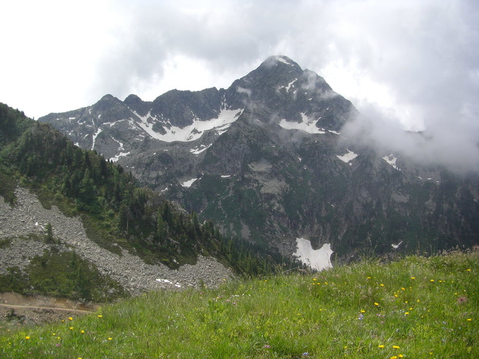
Vorbei an Almen ging erst kurz bergauf und anschl. ein gutes Stück bergab. Nach Umrundung einer Bergnase kamen wir in ein Tal mit Wasserlauf, jetzt bergauf bis zu einer Alm mit Betrieb. Nicht mehr weit bis zum lago. Da wir noch Luft hatten, gingen wir weiter auf dem Weg Nr. 2, jetzt stets bergauf.
Oben machten wir eine Runde und gingen die neu gebaute Wirtschaftsstraße wieder bergab. Ab dem lago auf dem gleichen Weg zurück. Mit wenigen Pausen 4 Std. 15 Minuten. Keine Einkehrmöglichkeit. Viele Wasserstellen.
Tour gallery
Tour map and elevation profile
Minimum height 1416 m
Maximum height 2024 m
More about the tour author
|
|
ultra |
Comments

Vom Aostatal bei Ponto St. Martin nach Fontainemore ins Gressoney-Tal.
Dort steil. ca. 6km, bergauf bis zum beschriebenen Wanderparkplatz.
GPS tracks
Trackpoints-
GPX / Garmin Map Source (gpx) download
-
TCX / Garmin Training Center® (tcx) download
-
CRS / Garmin Training Center® (crs) download
-
Google Earth (kml) download
-
G7ToWin (g7t) download
-
TTQV (trk) download
-
Overlay (ovl) download
-
Fugawi (txt) download
-
Kompass (DAV) Track (tk) download
-
Track data sheet (pdf) download
-
Original file of the author (gpx) download
More about the tour author
|
|
ultra |
Add to my favorites
Remove from my favorites
Edit tags
Open track
My score
Rate