
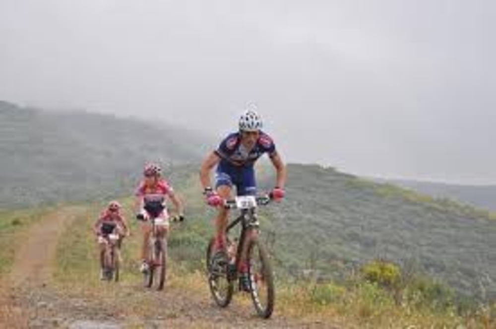

splendido percorso al capoliveri bike park.Qulache km di riscaldamento, salita della sardinia, svolta a sinistra per un paio di km, breve ma durissimo strappo e pausa alla garitta - osservatorio. Si abbassa la sella di 2-3 cm e via per un bellissimo single track nel bosco seguito dalla spelndida diescesa della polveriera con qualche variante più.. impegnativa e divertente. Ci si aggancia all'anello basso, pausa recupero al maneggio delle ripalte e nuova salitina per l'anello alto. Si scende poi per il buzzancone, lunga e larga ma non facile discesa verso l'anello basso. Si rientra a capoliveri seguendo quest'ultimo anche su asfalto.
Further information at
http://www.capoliveribikepark.it/Tour map and elevation profile
Minimum height 11 m
Maximum height 402 m
More about the tour author

|
mikyross |
Comments

italia toscana livorno isola d'elba capoliveri capoliveri bike park
GPS tracks
Trackpoints-
GPX / Garmin Map Source (gpx) download
-
TCX / Garmin Training Center® (tcx) download
-
CRS / Garmin Training Center® (crs) download
-
Google Earth (kml) download
-
G7ToWin (g7t) download
-
TTQV (trk) download
-
Overlay (ovl) download
-
Fugawi (txt) download
-
Kompass (DAV) Track (tk) download
-
Track data sheet (pdf) download
-
Original file of the author (gpx) download
More about the tour author
|
|
mikyross |
Add to my favorites
Remove from my favorites
Edit tags
Open track
My score
Rate