


Von Bläsiberg über Wiesensteig und zurück.
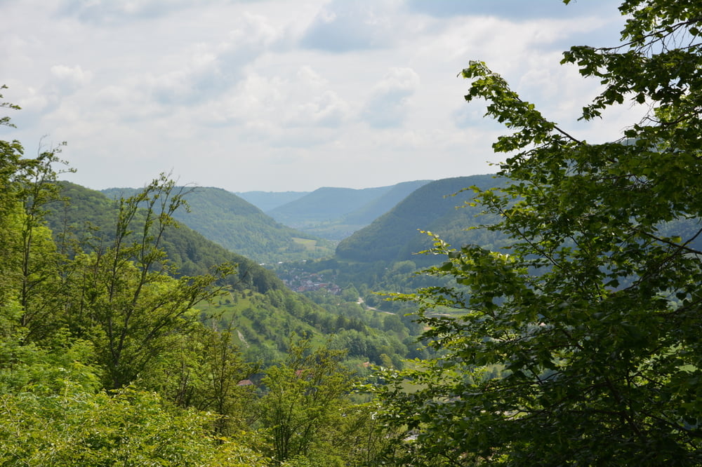
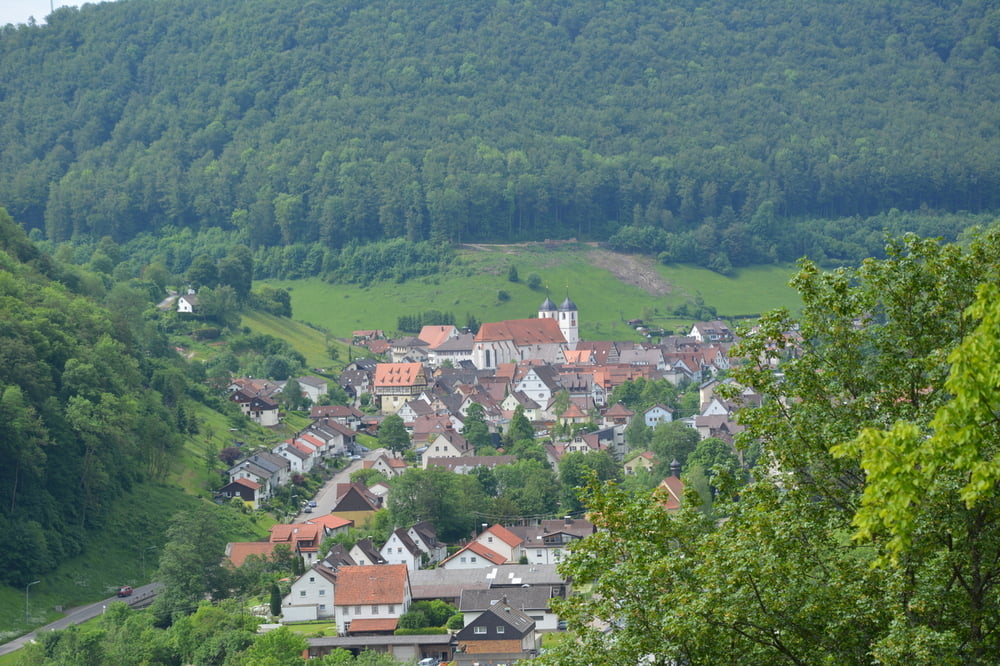
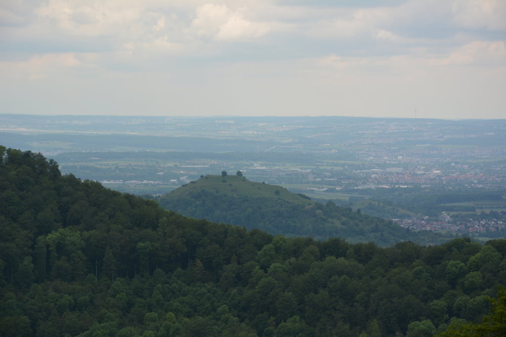
Wir starten am Wanderparkplatz neben der L 1200 auf der Albhochfläche. Wir gehen noch ein Stück an der Straße entlang Richtung Eckhöfe und biegen dann links zum Gasthaus Bläsiberg ab. Von da an weiter Richtung Kreuzkapelle. Dann den Kreuzweg hinunter und auf halber Höhe den Forstweg links nehmen. Bis zu einem kleinen Industriegebiet von Wiesensteig. Von hier aus über die Wiesen und einen Orchideenhang mit Blick auf die Autobahn am Drackensteiner Hang. Danach weiter durch den Wald und über Wiesen bis zum Albtrauf. Am Startplatz der Drachenflieger hat man einen herrlichen Überblick übers Albvorland und der Loßburg.
Further information at
http://www.wiesensteig.de/Tour gallery

Tour map and elevation profile
Minimum height 563 m
Maximum height 790 m
More about the tour author
|
|
Seili |
Comments

Von der A8 über Weilheim an der Teck über Neidlingen zum Parkplatz.
GPS tracks
Trackpoints-
GPX / Garmin Map Source (gpx) download
-
TCX / Garmin Training Center® (tcx) download
-
CRS / Garmin Training Center® (crs) download
-
Google Earth (kml) download
-
G7ToWin (g7t) download
-
TTQV (trk) download
-
Overlay (ovl) download
-
Fugawi (txt) download
-
Kompass (DAV) Track (tk) download
-
Track data sheet (pdf) download
-
Original file of the author (gpx) download
More about the tour author
|
|
Seili |
Add to my favorites
Remove from my favorites
Edit tags
Open track
My score
Rate