


Von Belluno Veronese (nahe Avio) geht es zum lockeren Einfahren am Kanal entlang Richtung Avio.
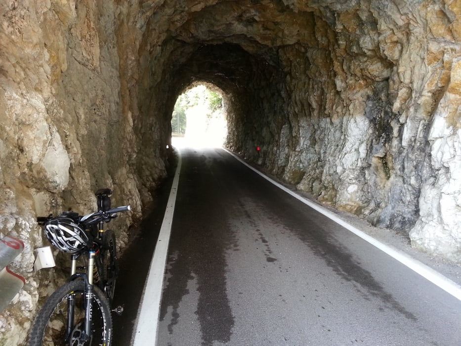
Nun geht es für die nächsten 21 km kontinuierlich (immer!) auf der Passstraße bergauf. Bis hierher kann man diese Tour auch mit dem Rennrad absolvieren.
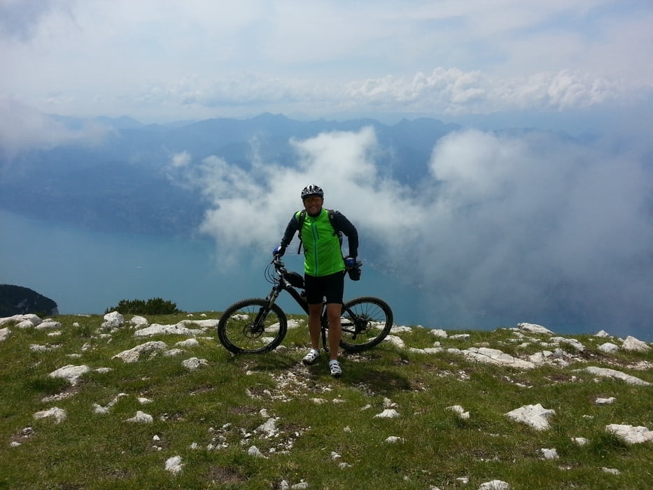
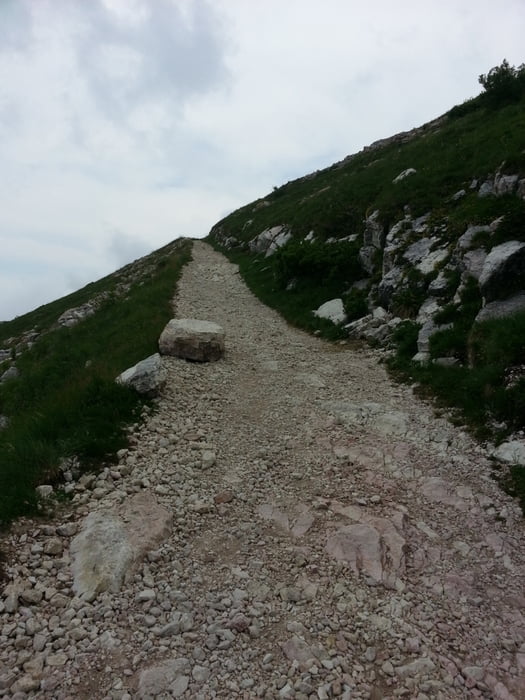
Nun folgt der Moutain-Bike Teil. Die nächsten rd. 400 Hm geht es teils sehr steil und leicht verblockt aber auch steil und schotterig—aber immer steil hinauf zum Gipfel des Altissimo. Oben angekommen wird man bei klarem Wetter mit einem Blick über den ganzen Gardasee belohnt.
Auch eine Einkehrmöglichkeit ist vorhanden.
Auf dem selben Weg fuhr ich wieder zurück.
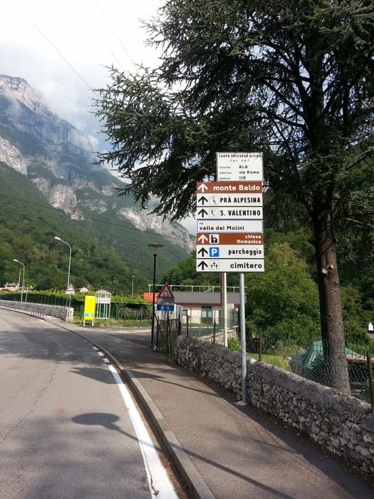
Achtung vom Startpunkt aus, die kommenden 22 Kilometer, gibt es keine Möglichkeit mehr seine Wasserflaschen an einer Bar oder einem Laden zu füllen. Erst wieder in St. Valentino.
Viel Spass
Nun geht es für die nächsten 21 km kontinuierlich (immer!) auf der Passstraße bergauf. Bis hierher kann man diese Tour auch mit dem Rennrad absolvieren.
Nun folgt der Moutain-Bike Teil. Die nächsten rd. 400 Hm geht es teils sehr steil und leicht verblockt aber auch steil und schotterig—aber immer steil hinauf zum Gipfel des Altissimo. Oben angekommen wird man bei klarem Wetter mit einem Blick über den ganzen Gardasee belohnt.
Auch eine Einkehrmöglichkeit ist vorhanden.
Auf dem selben Weg fuhr ich wieder zurück.
Achtung vom Startpunkt aus, die kommenden 22 Kilometer, gibt es keine Möglichkeit mehr seine Wasserflaschen an einer Bar oder einem Laden zu füllen. Erst wieder in St. Valentino.
Viel Spass
Tour gallery
Tour map and elevation profile
Minimum height 115 m
Maximum height 2072 m
More about the tour author
|
|
volker67 |
Comments

GPS tracks
Trackpoints-
GPX / Garmin Map Source (gpx) download
-
TCX / Garmin Training Center® (tcx) download
-
CRS / Garmin Training Center® (crs) download
-
Google Earth (kml) download
-
G7ToWin (g7t) download
-
TTQV (trk) download
-
Overlay (ovl) download
-
Fugawi (txt) download
-
Kompass (DAV) Track (tk) download
-
Track data sheet (pdf) download
-
Original file of the author (gpx) download
More about the tour author
|
|
volker67 |
Add to my favorites
Remove from my favorites
Edit tags
Open track
My score
Rate