


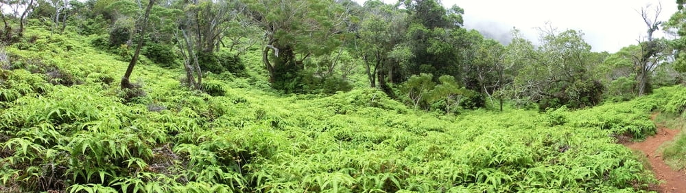
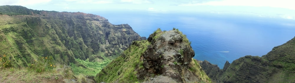
Einfacher und schöner Trail zu einem in mehreren hundert Metern Höhe gelegenen Lookout mit fantastischem Ausblick auf die Napali Coast.
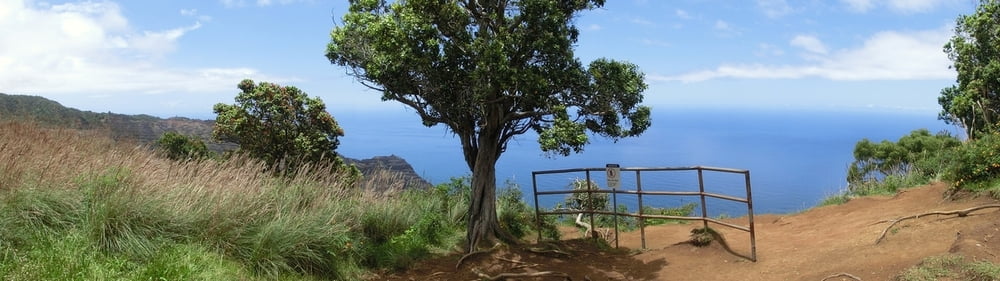
Track im Nachhinein mit Oruxmaps erstellt, wir sind nach Wanderführer gegangen, aus dem auch die Höhenmeterangabe entnommen ist. Der Trail startet an einem Parkplatz an der Kokee Road und ist im weiteren Verlauf immer eindeutig. Es gibt kurz vor Erreichen des Lookouts lediglich eine Wegabbiegung in den Nuaolo Cliff Trail (Verbindung zum Nualolo Trail), welcher Stand Mai 2014 wegen Erosion und Absturzgefahr gesperrt war. Gesamtdistanz hin und zurück ca. 10 km.
Tour gallery
Tour map and elevation profile
Minimum height 99999 m
Maximum height -99999 m
More about the tour author
|
|
mackator |
Comments

Parkplatz auf der linken Seite der Kokee Road, ca. 1.5 km nördlich des Kokee Natural History Museums.
GPS tracks
Trackpoints-
GPX / Garmin Map Source (gpx) download
-
TCX / Garmin Training Center® (tcx) download
-
CRS / Garmin Training Center® (crs) download
-
Google Earth (kml) download
-
G7ToWin (g7t) download
-
TTQV (trk) download
-
Overlay (ovl) download
-
Fugawi (txt) download
-
Kompass (DAV) Track (tk) download
-
Track data sheet (pdf) download
-
Original file of the author (gpx) download
More about the tour author
|
|
mackator |
Add to my favorites
Remove from my favorites
Edit tags
Open track
My score
Rate