
")

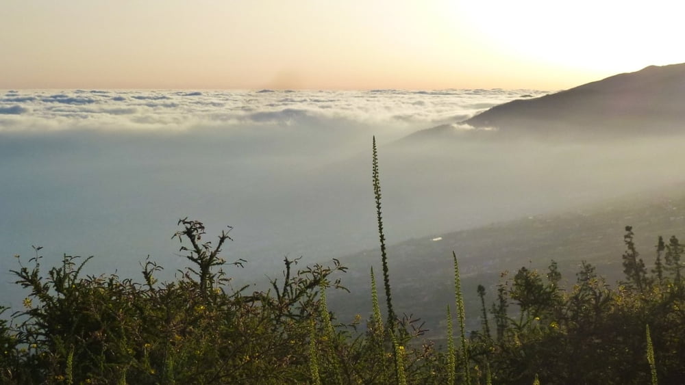
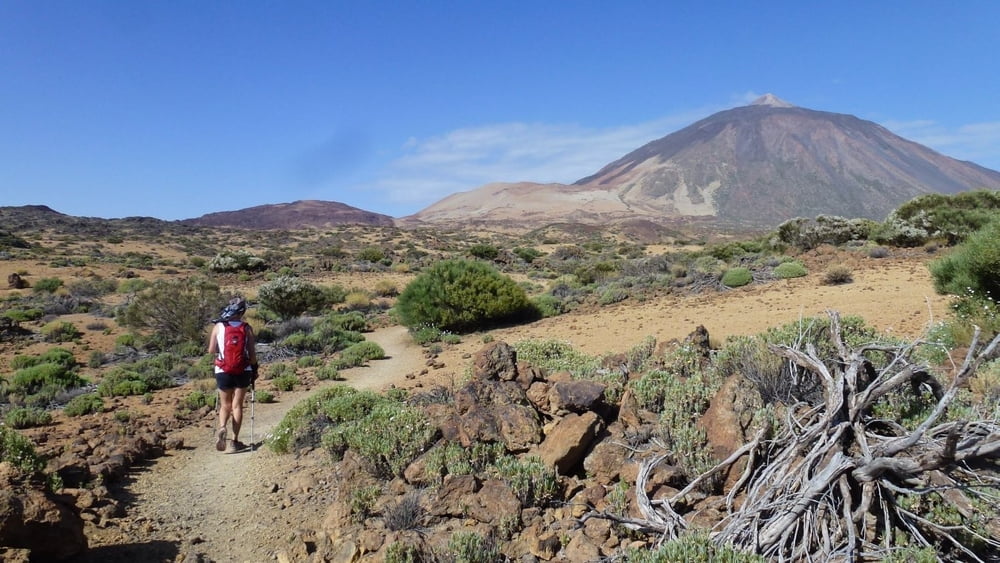
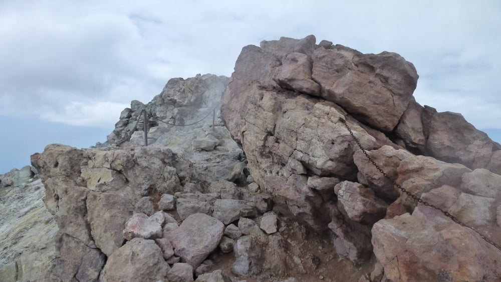
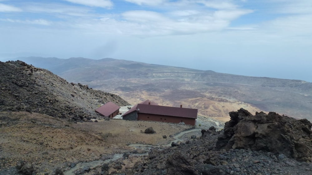
Vom Meer zum Gipfel (3.718mtr.) Start des Laufes ist am Playa del Socorro (0mtr.) und weiter über Realejo Baio, Realejo Alto, Llanadas und Las Canadas bis zur Straße TF-21 (ca. 1.900mtr.). Weiter über die Las Canadas vorbei an der Altavista Hütte (3.268mtr.) zur Seilbahn-Gipfelstation (3.550mtr.). Ab hier noch ca. 170 Höhenmeter zum Gipfel Pico del Teide (3.718mtr.) und zurück zur Altavista Hütte mit Übernachtung. Hinweis: Buchung der Altavista Hütte per Internet ebenso wie das erforderliche Gipfelpermit zu buchen im Internet. Auf ca. 2.000 Metern ein kurzes Stück weglos dem Track folgen (der Weg wurde rekultiviert und ist somit nicht mehr wirklich vorhanden). Die Strecke ist durch die verschiedenen Vegetationszonen sehr abwechslungsreich mit wunderschöner Aussicht. Zum Abstieg siehe "Teide-Down NON-Stop"
Tour gallery
Tour map and elevation profile
Minimum height 15 m
Maximum height 3689 m
More about the tour author
|
|
maischmicha |
Comments

GPS tracks
Trackpoints-
GPX / Garmin Map Source (gpx) download
-
TCX / Garmin Training Center® (tcx) download
-
CRS / Garmin Training Center® (crs) download
-
Google Earth (kml) download
-
G7ToWin (g7t) download
-
TTQV (trk) download
-
Overlay (ovl) download
-
Fugawi (txt) download
-
Kompass (DAV) Track (tk) download
-
Track data sheet (pdf) download
-
Original file of the author (gpx) download
More about the tour author
|
|
maischmicha |
Add to my favorites
Remove from my favorites
Edit tags
Open track
My score
Rate