
, Tenerife")

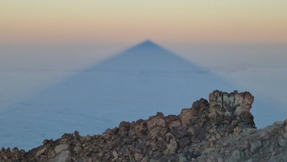
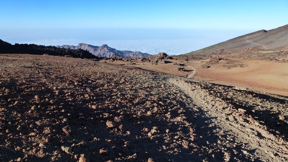
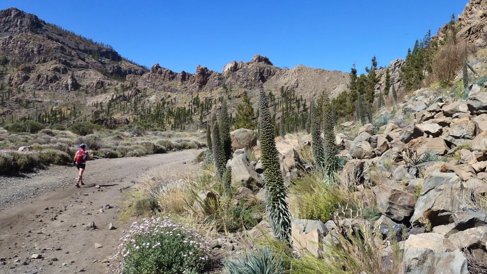
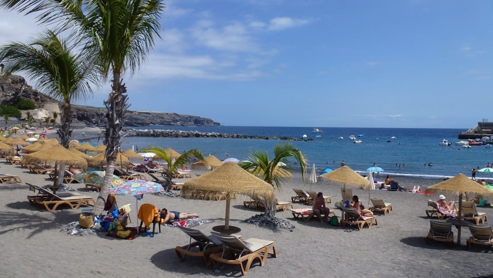
Vom Gipfel (3.718mtr.) zum Meer. Start ist an der Rif. Alta Vista (3.268mtr.) mit dem nächtlichen Aufstieg zum Pico del Teide (3.718mtr.). Hier lohnt sich das Warten auf den Sonnenaufgang, um den Schatten des Teide zu bewundern. (Hinweis: Ein Gipfelpermit ist erst ab 9:00 Uhr erforderlich). Der Abstieg erfolgt auf der Westseite auf gut angelegtem Weg vorbei an den beiden Nebenkratern zum Parkplatz an der TF-38. Weiter Richtung Süden an der TF-38 entlang und nach ca. 400 mtr. rechts ab auf gut zu laufendem Weg hinab zur Antigua casa forestal. Weiter entlang der alten Levada hinunter nach Chirche. Ab hier dem Track folgend bis Playa San Juan. Eine sehr abwechlungsreiche Strecke mit tollen Ausblicken.
Tour gallery
Tour map and elevation profile
Minimum height 1 m
Maximum height 3689 m
More about the tour author
|
|
maischmicha |
Comments

GPS tracks
Trackpoints-
GPX / Garmin Map Source (gpx) download
-
TCX / Garmin Training Center® (tcx) download
-
CRS / Garmin Training Center® (crs) download
-
Google Earth (kml) download
-
G7ToWin (g7t) download
-
TTQV (trk) download
-
Overlay (ovl) download
-
Fugawi (txt) download
-
Kompass (DAV) Track (tk) download
-
Track data sheet (pdf) download
-
Original file of the author (gpx) download
More about the tour author
|
|
maischmicha |
Add to my favorites
Remove from my favorites
Edit tags
Open track
My score
Rate