


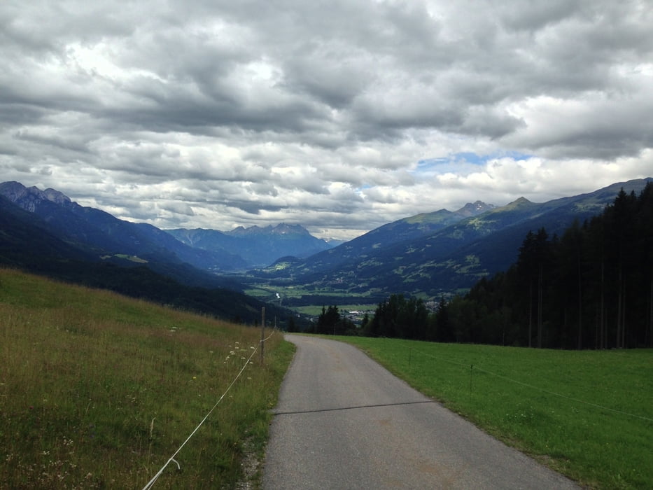
Start der Tour ist in Naggl, vorbei an der alten Mühle geht es über
Wanderwege und Forststraßen Richtung Seilbahn Talstation.
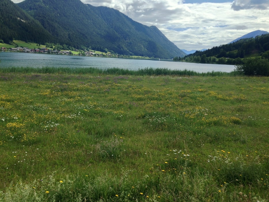
Weiter auf der Seeuferpromenade und Asphaltstraßen zum
Gasthof Tschabitscher.
Hier kann man den schönen Ausblick ins Drautal genießen.
Danach der Forststraße hinter dem Gasthof Tschabitscher
nach Oberdorf folgen.
Über die Seeuferpromenade Richtung Techendorf, den nördlichen Waldweg, die Brücke
und die Seeuferstraße zurück nach Naggl.
Further information at
http://www.weissensee.com/Tour gallery
Tour map and elevation profile
Minimum height 928 m
Maximum height 1109 m
More about the tour author
|
|
kersti |
Comments

Gebührenpflichtige Parkplätze in Naggl
GPS tracks
Trackpoints-
GPX / Garmin Map Source (gpx) download
-
TCX / Garmin Training Center® (tcx) download
-
CRS / Garmin Training Center® (crs) download
-
Google Earth (kml) download
-
G7ToWin (g7t) download
-
TTQV (trk) download
-
Overlay (ovl) download
-
Fugawi (txt) download
-
Kompass (DAV) Track (tk) download
-
Track data sheet (pdf) download
-
Original file of the author (gpx) download
More about the tour author
|
|
kersti |
Add to my favorites
Remove from my favorites
Edit tags
Open track
My score
Rate