Login

Forgot your login?

Cookies have to be accepted!
Your browser's cookie functionality is disabled. Please enable this functionality.

Not a member yet?

Register now
Login

Available for registred users only

Log in to use this feature.

Forgot your login?

Cookies have to be accepted!
Your browser's cookie functionality is disabled. Please enable this functionality.

Not a member yet?

Register now
Filter
Categories
Advanced filters
  • Distance (km)
  • Height
Save filters Reset filter

TrackRank

QRCode

Technical data

Distance14,0 km Height m Way down361 m Duration03:00 h:m Date23.07.2014
Scores Author Landscape Fun factor Fitness Technique

Statistics

323 Views Scores 17 Downloads Average
Rate
  • Track data sheet
  • Directions
  • Downloads

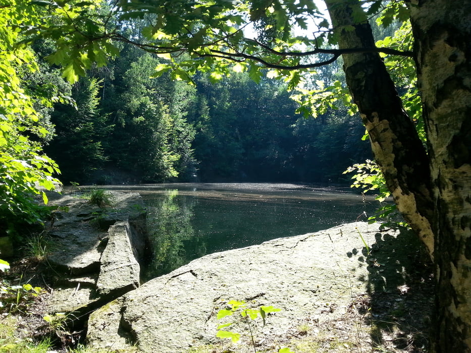
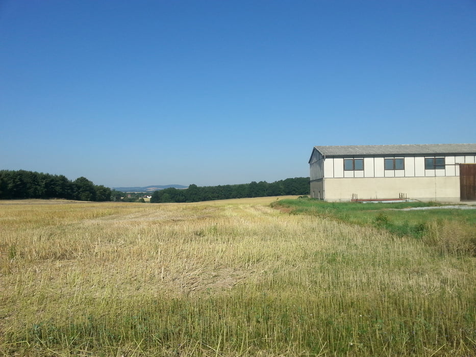
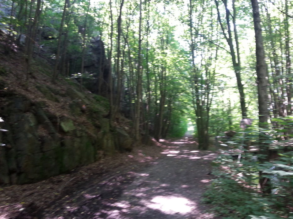
Rundwanderung entlang der Nedaschütz Skala

Wege sind z.T. Felder/Wiesen, Feldwege, kleine Straßen.

entspannte Ruhe und viel Natur 

Tour gallery

Tour map and elevation profile

  • Open Street Map
  • Google
Minimum height 174 m Maximum height 275 m Detailed view

More about the tour author

yorugu
Member since 2013

Send private message

Comments

In Semmicha kann man Parken, aber auch an den andern Einstiegsmöglichkeiten gibt es Parkplätze

GPS tracks

Trackpoints
  • GPX / Garmin Map Source (gpx) download
  • TCX / Garmin Training Center® (tcx) download
  • CRS / Garmin Training Center® (crs) download
  • Google Earth (kml) download
  • G7ToWin (g7t) download
  • TTQV (trk) download
  • Overlay (ovl) download
  • Fugawi (txt) download
  • Kompass (DAV) Track (tk) download
  • Track data sheet (pdf) download
  • Original file of the author (gpx) download

More about the tour author

yorugu
Member since 2013

Send private message
Share track
Add to my favorites
Remove from my favorites
Edit tags
My score
Rate
Track: Schwarzwasser Skala
Type: Hiking
Distance: 14,0 km
Evaluated on:
Duration:
Day(s)
Hour(s)
Minute(s)
Score: Landscape Fun factor Fitness Technique