


Diese Hügeltour ist bis auf zwei kurze Passagen auch für Rennräder geeignet. Ca. vier km wird auch nur auf wenig befahrenden Hauptstraßen gefahren, ansonsten nur kleine Wirtschaftsstraßen.
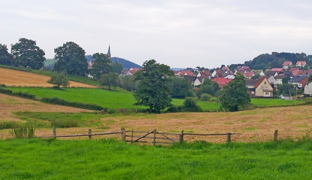
Start und Ziel war das Krankenhaus in Steinheim. Gegen den Uhrzeigersinn, vorbei am Freibad und Reithalle nach Vordereichholz. Über Vinsebeck, entlang des Heubaches , erreichst über Bergheim, Himmighausen und Oeynhausen das kleine Städtchen Nieheim.
Nach besuch des Klosters Marienmünster, erreichst Du über die Grevenburg und Sommersell den Ausgangspunkt.
Fazit: Eine wunderschöne Hügeltour mit tollen Ausblicken.
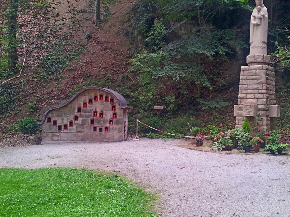
Tour gallery

Tour map and elevation profile
Minimum height 138 m
Maximum height 240 m
More about the tour author
|
|
radrolle48 |
Comments

GPS tracks
Trackpoints-
GPX / Garmin Map Source (gpx) download
-
TCX / Garmin Training Center® (tcx) download
-
CRS / Garmin Training Center® (crs) download
-
Google Earth (kml) download
-
G7ToWin (g7t) download
-
TTQV (trk) download
-
Overlay (ovl) download
-
Fugawi (txt) download
-
Kompass (DAV) Track (tk) download
-
Track data sheet (pdf) download
-
Original file of the author (gpx) download
More about the tour author
|
|
radrolle48 |
Add to my favorites
Remove from my favorites
Edit tags
Open track
My score
Rate