


Gestartet haben wir diese Tour mittags im Uhrzeigersinn in Lindau. Abends erreichten in der Schweiz das Örtchen Münsterlingen. Gut und preiswert wohnten wir im Gasthof Rotes Haus. 75 km.
Am 2. Tag fuhren durch Konstanz und Stein am Rhein bis zur Insel Reichenau., 90 km. Alle drei Orte sind ein Muss.
Der 3. Tag führte uns bis Überlingen, wobei diese Strecke nicht sehr schön war. Weg vom See und viel an Straßen. 65 km.
Am letzten Tag waren lediglich noch 50 km zu bewältigen.
Fazit: Wunderschöne Orte und Städte. Auf der Schweizer Seite viel Radverkehr, aber schönste Strecken.
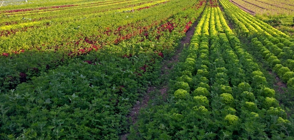
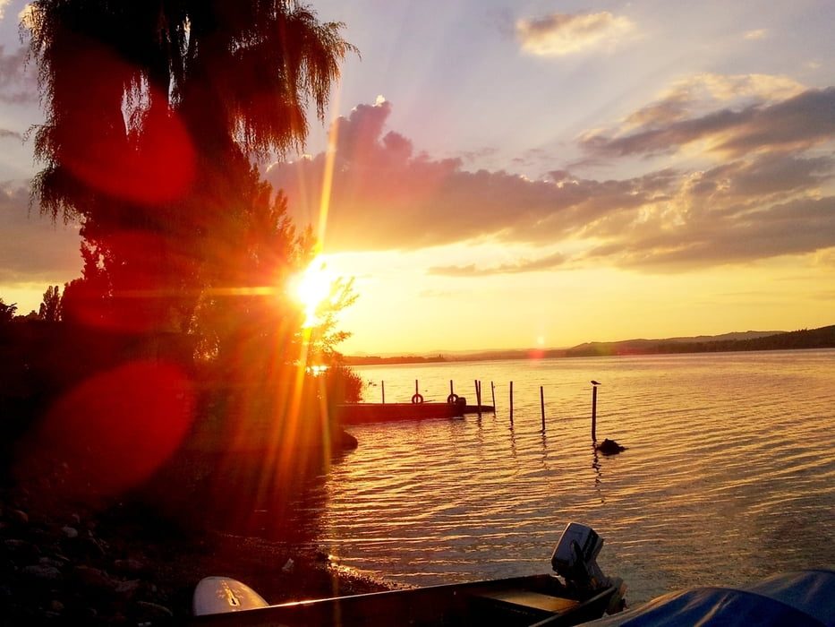
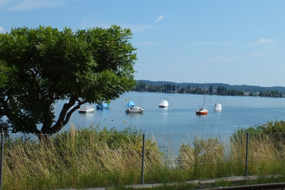
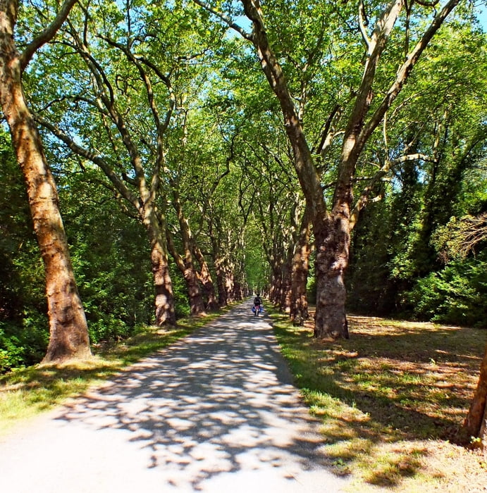
Tour gallery
Tour map and elevation profile
Minimum height 393 m
Maximum height 551 m
More about the tour author
|
|
radrolle48 |
Comments

GPS tracks
Trackpoints-
GPX / Garmin Map Source (gpx) download
-
TCX / Garmin Training Center® (tcx) download
-
CRS / Garmin Training Center® (crs) download
-
Google Earth (kml) download
-
G7ToWin (g7t) download
-
TTQV (trk) download
-
Overlay (ovl) download
-
Fugawi (txt) download
-
Kompass (DAV) Track (tk) download
-
Track data sheet (pdf) download
-
Original file of the author (gpx) download
More about the tour author
|
|
radrolle48 |
Add to my favorites
Remove from my favorites
Edit tags
Open track
My score
Rate