


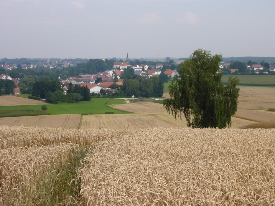
Das ist eine sehr ruhige Wanderung auf wenig begangenen, aber befestigten Wegen, meist im Wald, ein kürzerer Teil der Strecke führt auf Feldwegen durch die Sonne.
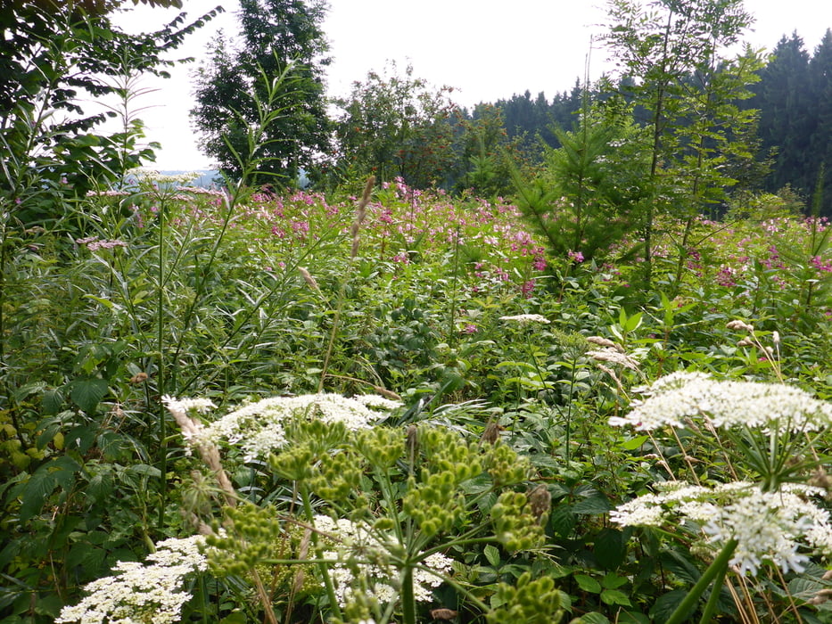
Landschaftlich sehr schön, eher gemütlich.
Kleinere Kinder können auch ihr Fahrrad mitnehmen.
Besonders wer gerne Brombeeren mag, kommt Ende Juli und im August voll auf seine Kosten. Da blüht auch sonst sehr viel an der Strecke.
Manchmal trifft man auf die Reiter, die ihre Pferde auf Gut Mergenthau stehen haben.
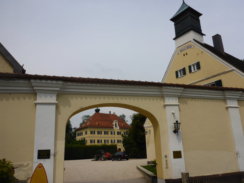
Am Ende geht es noch vorbei an Gut Mergenthau.
Wer abkürzen will, kann auch, wenn er wieder auf die Autostraße kommt, nach links gehen und ist dann gleich beim Parkplatz.
Tour gallery

Tour map and elevation profile
Minimum height 499 m
Maximum height 560 m
More about the tour author

|
wiesmanns |
Comments

Startpunkt ist der Parkplatz bei Gut Mergenthau. Von da aus über die Straße auf den Feldweg Richtung Wald.
Adresse für den Navi:
Mergenthau 1, 86438 Kissing
GPS tracks
Trackpoints-
GPX / Garmin Map Source (gpx) download
-
TCX / Garmin Training Center® (tcx) download
-
CRS / Garmin Training Center® (crs) download
-
Google Earth (kml) download
-
G7ToWin (g7t) download
-
TTQV (trk) download
-
Overlay (ovl) download
-
Fugawi (txt) download
-
Kompass (DAV) Track (tk) download
-
Track data sheet (pdf) download
-
Original file of the author (gpx) download
More about the tour author
|
|
wiesmanns |
Add to my favorites
Remove from my favorites
Edit tags
Open track
My score
Rate