
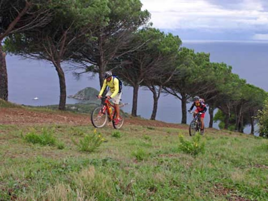

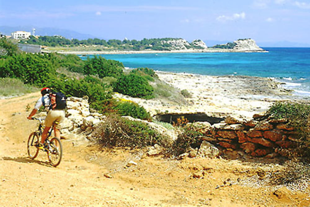
Dopo un giro nel paese di capoliveri come riscaldamento si inizia con il sigurt: 2 km al 20%, durissima! Poi discesa veloce e giro per l'anello alto. Discesa della cessa dell'asta e single track dell'inammorata. Asfalto per un km e poi single track del calone giù fino alle miniere calamita bassa. Si risale per strada sterrata fino alla fattoria ripalte. Si scende e si prende il bellissimo single track detto radici. Si continua fino a vedere un belissimo laghetto. Sempre continuando si va a fare il bagno alla spiaggia dell'istia. Rientro per sterrato e poi asfalto fino a capoliveri.
Further information at
http://www.capoliveribikepark.it/Tour gallery

Tour map and elevation profile
Minimum height 12 m
Maximum height 402 m
More about the tour author

|
mikyross |
Comments

italia toscana livorno isola d'elba capoliveri capoliveribikepark. Alla rotonda seguire la terza uscita indicazione per le ripalte. Parcheggio su uno slargo al lato della strada
GPS tracks
Trackpoints-
GPX / Garmin Map Source (gpx) download
-
TCX / Garmin Training Center® (tcx) download
-
CRS / Garmin Training Center® (crs) download
-
Google Earth (kml) download
-
G7ToWin (g7t) download
-
TTQV (trk) download
-
Overlay (ovl) download
-
Fugawi (txt) download
-
Kompass (DAV) Track (tk) download
-
Track data sheet (pdf) download
-
Original file of the author (gpx) download
More about the tour author
|
|
mikyross |
Add to my favorites
Remove from my favorites
Edit tags
Open track
My score
Rate