


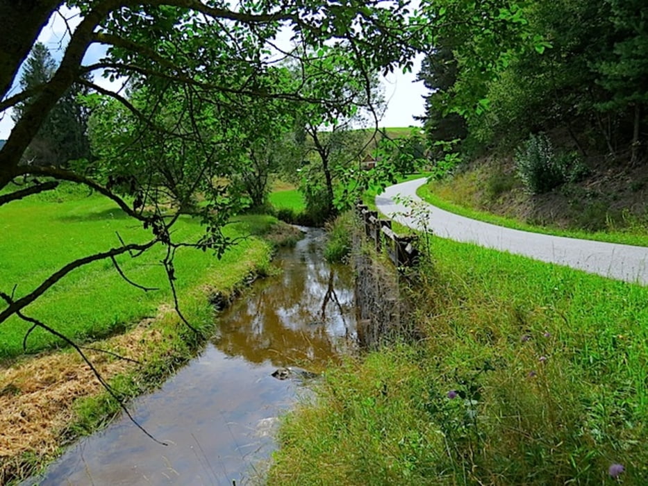
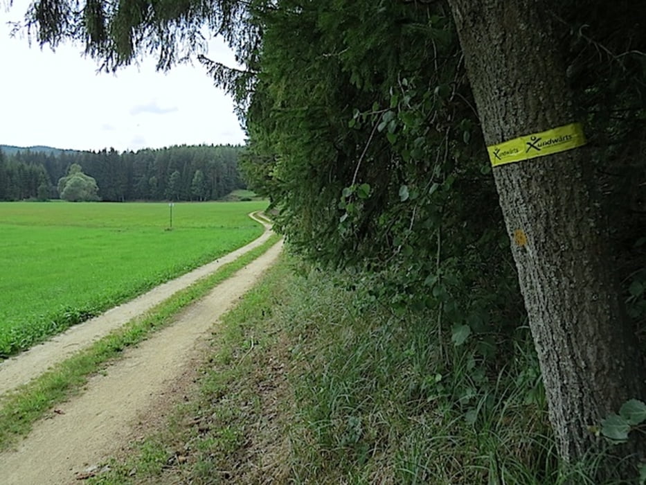
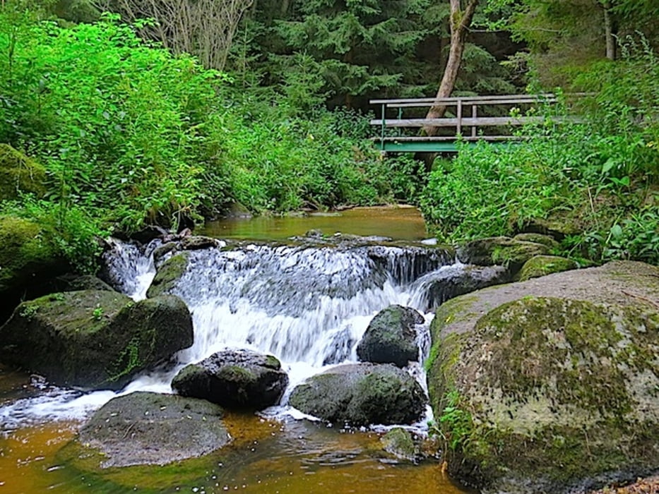
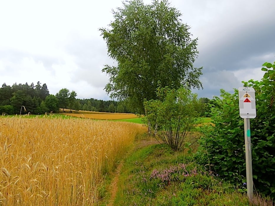
Rund um das Herz-Kreislauf-Zentrum in Groß Gerungs entstand eine Reihe von neuen Wanderrouten in verschiedenen Längen. Der Rundwanderweg Klauskapelle mit der gelben Nr.2 führt uns in die südwestliche Gegend von Groß Gerungs. Er beginnt bei der Info-Tafel gegenüber dem Eingang zum Herz-Kreislauf-Zentrum, führt links vom Haupteingang hinter das Gebäude und anschließend hinunter in das Zwettltal. Es geht weiter zur Rosenmayermühle, Klein-Reinprechts, Klauskapelle und über Klein-Reinprechts zurück zum Ausgangspunkt.
Mehr Info und Deine Meinung in meinem Wanderblog - schau doch mal vorbei!
Karten:
Info-Tafel beim Ausgangspunkt gegenüber dem Eingang zum Herz-Kreislauf-Zentrum
Austria Map Ost (BEV)
Wander-, Rad- und Freizeitkarte WK111 1:50.000, herausgegeben von Freytag & Berndt
Further information at
http://www.zwalk.at/klauskapelle/Tour gallery
Tour map and elevation profile
Minimum height 656 m
Maximum height 763 m
More about the tour author
|
|
Jonny |
Comments

Per Auto - Parkplätze am Besucherparkplatz beim Herz-Kreislauf-Zentrum in Groß Gerungs
• nördlich Zwettl Richtung Groß Gerungs
• östlich Zwettl Richtung Groß Gerungs
• südlich Westautobahn A1 Abfahrt Ybbs, Würnsdorf, Ottenschlag, Zwettl Richtung Groß Gerungs
GPS tracks
Trackpoints-
GPX / Garmin Map Source (gpx) download
-
TCX / Garmin Training Center® (tcx) download
-
CRS / Garmin Training Center® (crs) download
-
Google Earth (kml) download
-
G7ToWin (g7t) download
-
TTQV (trk) download
-
Overlay (ovl) download
-
Fugawi (txt) download
-
Kompass (DAV) Track (tk) download
-
Track data sheet (pdf) download
-
Original file of the author (gpx) download
More about the tour author
|
|
Jonny |
Add to my favorites
Remove from my favorites
Edit tags
Open track
My score
Rate