

Mal wieder eine Variante der Oberjoch-Tour. Diesmal Start in Seeg. Vilsalpsee diesmal ausgelassen. Viele Hilghlights: Aussicht von der Ellegger Höhe, einsames Königssträßle, Deutschlands kurvenreichste Passstrasse, netter Radweg durchs Tannheimer Tak und rauschende Abfahrt durchs Engetal.
Zwischen Oberjoch und Schattwald etwas holpriger Weg. Wer das nicht mag, kann noch über Unterjoch fahren (sind ca. 2km mehr).
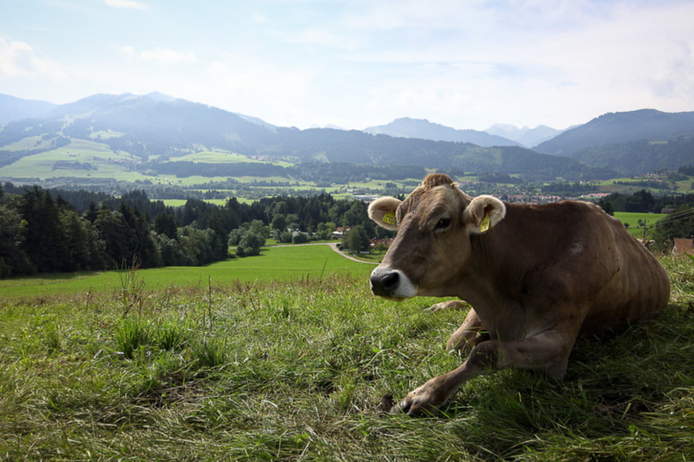
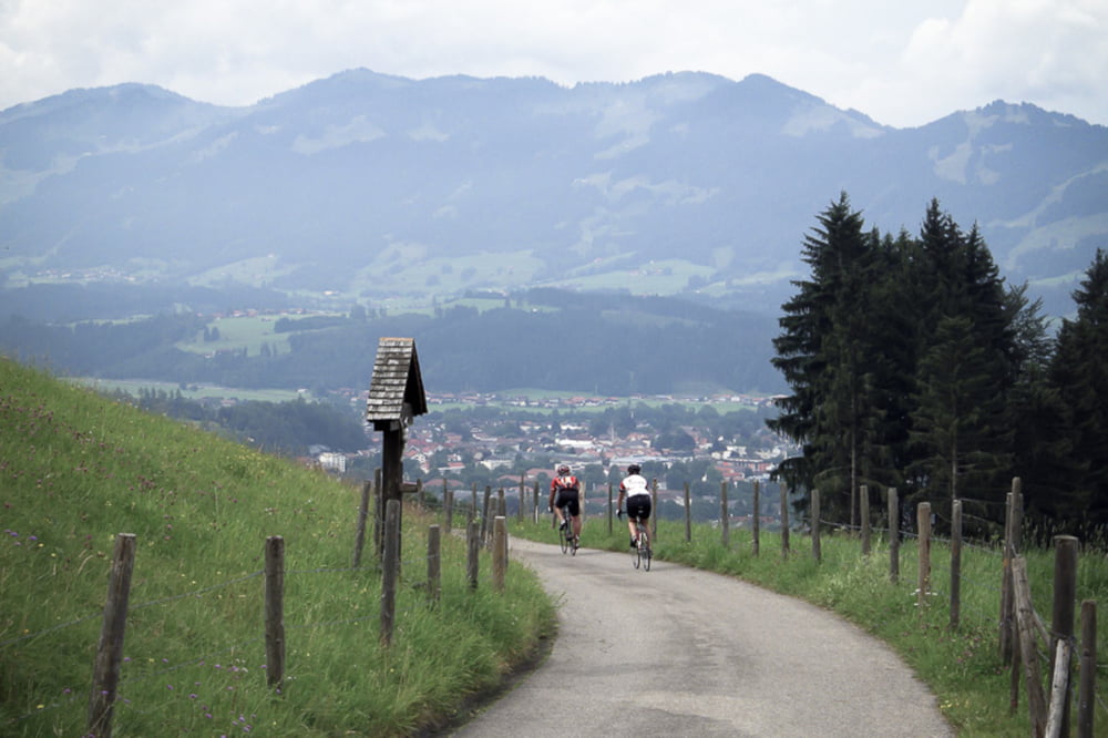
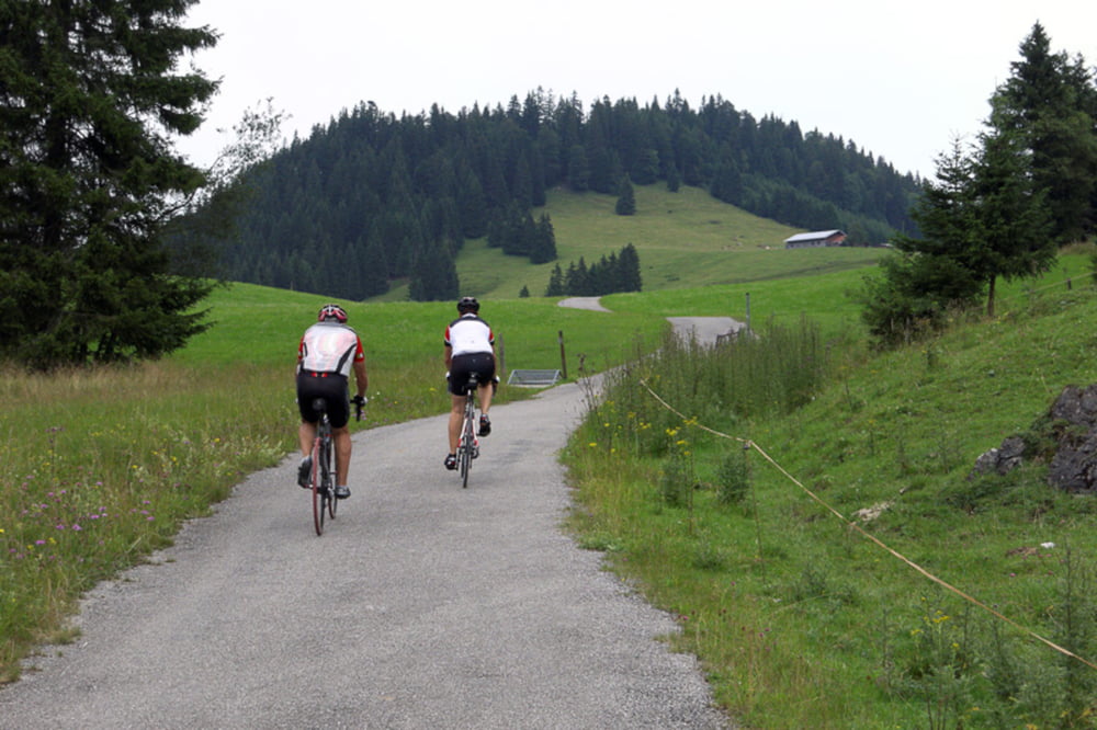
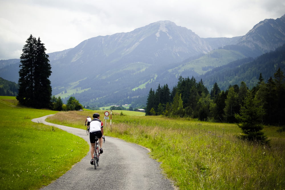
Tour gallery
Tour map and elevation profile
Minimum height 761 m
Maximum height 1159 m
More about the tour author

|
Tourmalet |
Comments

Gute Parkmöglichkeiten am Sportplatz in Seeg.
GPS tracks
Trackpoints-
GPX / Garmin Map Source (gpx) download
-
TCX / Garmin Training Center® (tcx) download
-
CRS / Garmin Training Center® (crs) download
-
Google Earth (kml) download
-
G7ToWin (g7t) download
-
TTQV (trk) download
-
Overlay (ovl) download
-
Fugawi (txt) download
-
Kompass (DAV) Track (tk) download
-
Track data sheet (pdf) download
-
Original file of the author (gpx) download
More about the tour author
|
|
Tourmalet |
Add to my favorites
Remove from my favorites
Edit tags
Open track
My score
Rate