


Letzte Etappe der Rundreise - anfängliche über kleine und kleinste Straßen. Wer es noch kleiner mag, der kann basierend auf unserer Route noch einige winzge Wege durch die Wälder wählen. Diese Teile hab ich wieder rausgenommen, da die Straßen dahinter wegen Bauarbeiten gesperrt waren. Dann auf größene Bundesstraße zurück nach Berlin. Das Ende ist am Bayerischen Platz.
Further information at
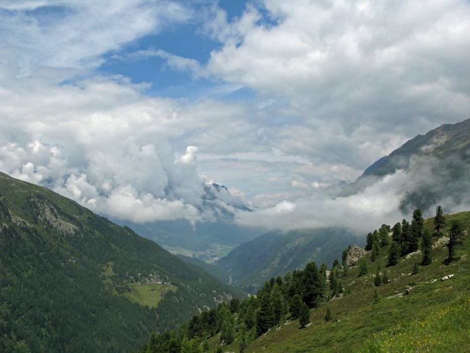
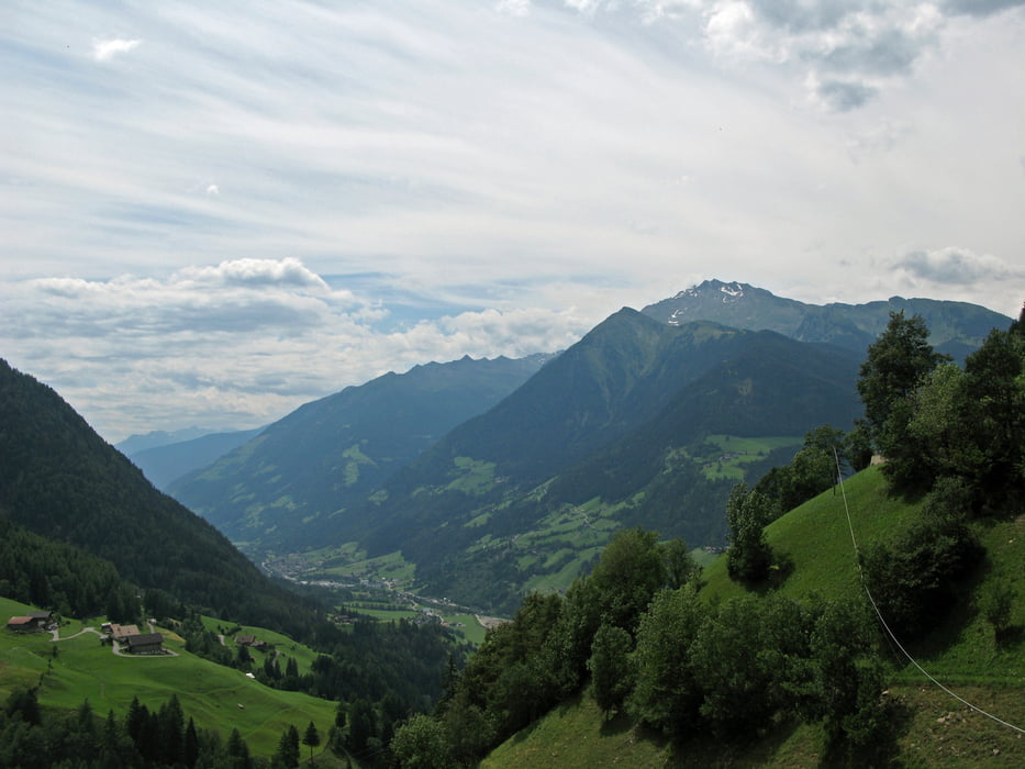
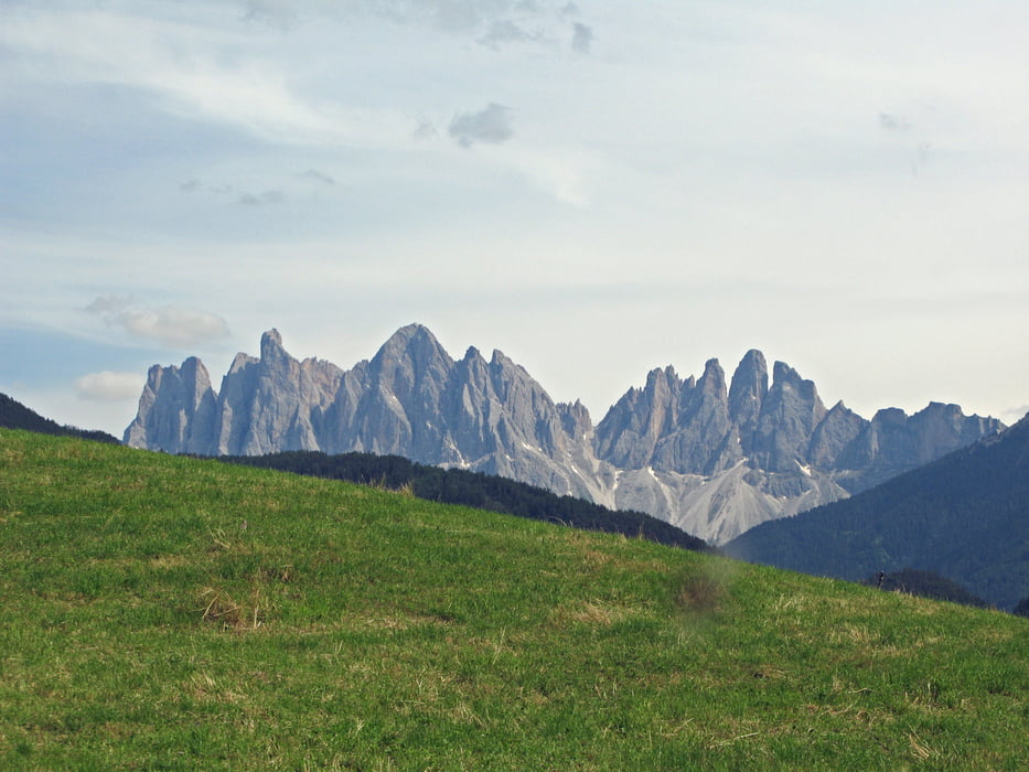
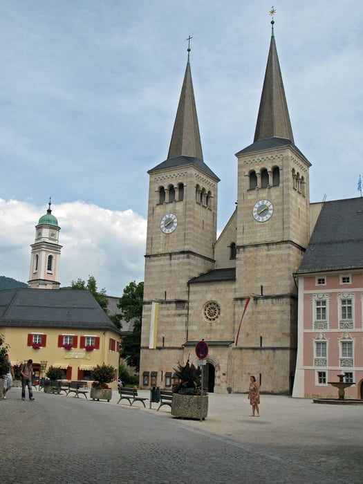
/en/tracks/detail.133963.htmlTour gallery
Tour map and elevation profile
Minimum height 32 m
Maximum height 404 m
More about the tour author

|
Baron_Boris |
Comments

http://gps-tour.info/de/touren/detail.133963.html
GPS tracks
Trackpoints-
GPX / Garmin Map Source (gpx) download
-
TCX / Garmin Training Center® (tcx) download
-
CRS / Garmin Training Center® (crs) download
-
Google Earth (kml) download
-
G7ToWin (g7t) download
-
TTQV (trk) download
-
Overlay (ovl) download
-
Fugawi (txt) download
-
Kompass (DAV) Track (tk) download
-
Track data sheet (pdf) download
-
Original file of the author (gpx) download
More about the tour author
|
|
Baron_Boris |
Add to my favorites
Remove from my favorites
Edit tags
Open track
My score
Rate