


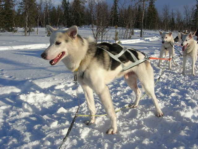
Heute gehts wieder zurück zur Huskyfarm. Natürlich nicht auf dem direkten Weg. Wir fahren durch die Hügel, über Seen, durch Moore. Alles ist mit Schnee bedeckt, aber die Sonne wärmt schon sehr gut und man merkt, dass der Frühling kommt - wenn es auch in Lappland noch eine Weile dauert.
Further information at
http://www.huskykompaniet.com/Tour gallery
Tour map and elevation profile
Minimum height 301 m
Maximum height 374 m
More about the tour author

|
smartandem |
Comments

Mit dem Flugzeug nach Stockholm und dann weiter nach Kiruna. Von dort über die E10 bis Svappavaara. Dort links auf die E45 bis Vittangi. Dort weiter auf der 395 bis nach Merasjärvi. Wir haben auf der Huskykompaniet gewohnt.
GPS tracks
Trackpoints-
GPX / Garmin Map Source (gpx) download
-
TCX / Garmin Training Center® (tcx) download
-
CRS / Garmin Training Center® (crs) download
-
Google Earth (kml) download
-
G7ToWin (g7t) download
-
TTQV (trk) download
-
Overlay (ovl) download
-
Fugawi (txt) download
-
Kompass (DAV) Track (tk) download
-
Track data sheet (pdf) download
-
Original file of the author (g7t) download
More about the tour author
|
|
smartandem |
Add to my favorites
Remove from my favorites
Edit tags
Open track
My score
Rate