


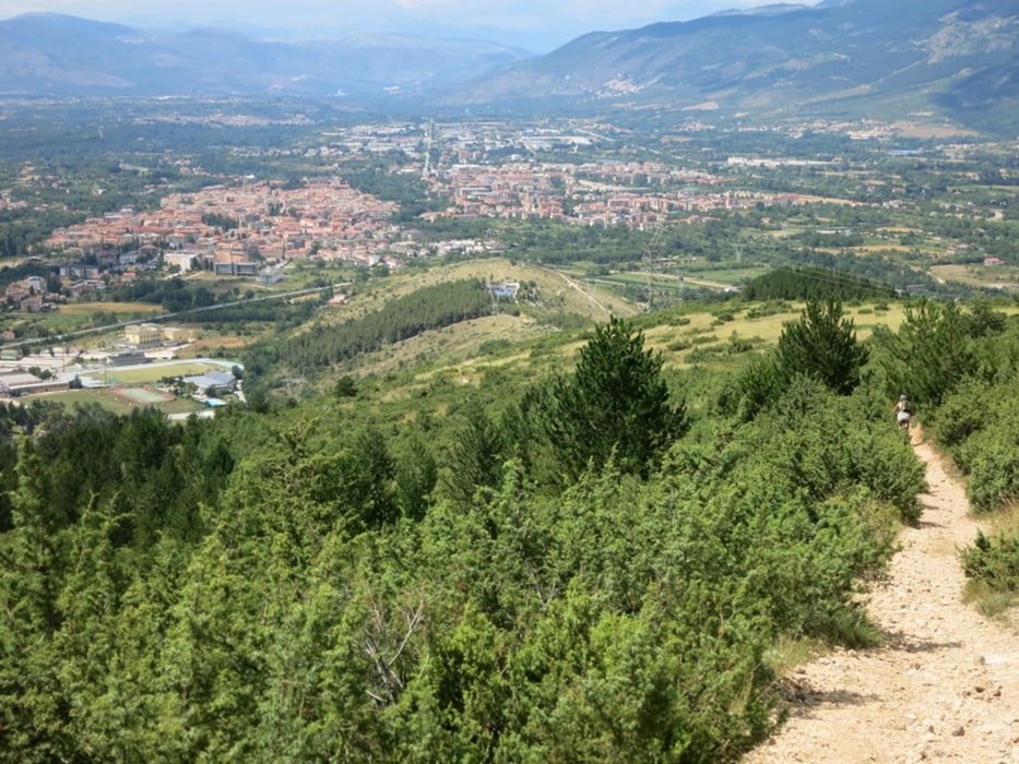
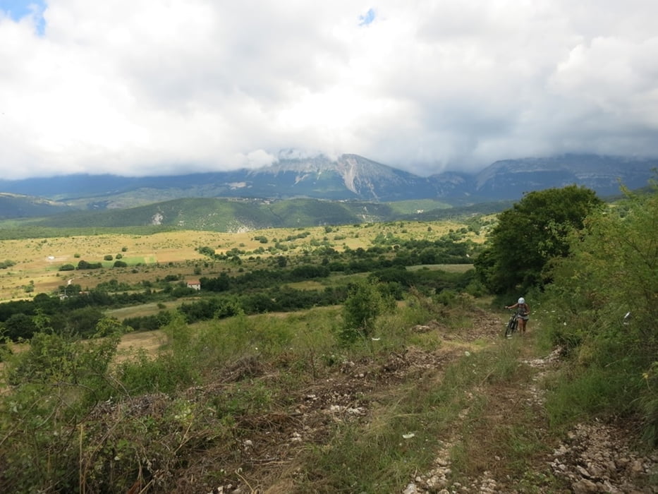
Abwechslungsreiche Halbtagestour ab Sulmona. Start und Ziel bei der Ortsausfahrt Süd, Kreuzung Ortsumfahrung und S487 (der Track beinhaltet einen Abstecher ins Zentrum des Städtchen Sulmona, was sich auf alle Fälle lohnt). Zuerst der S487 folgen, dann auf Asphaltstrasse weiter nach Cansano. Abstecher zur Bahnstation fakultativ. Von Cansano weiter Richtung Pescocostanzo. Kurz nach Ortsende Cansano rechts auf den 'Sentiero della Libertà' nach 'Sulmona' abbiegen. Den rot-weissen Wanderweg-Markierungen folgend durch eine wilde wenig bewirtschaftete hügelige Landschaft. Anstieg zur Cresta Di Pietra Maggiore, teilweise Schiebestrecke. Der höchste Punkt ist nun erreicht. Weiter den Wegmarkierungen folgend auf einem traumhaften Singeltrail mit herrlichem Ausblick zurück nach Sulmona.'fliegen'.
Uebernachtungsmöglichkeit: z.B. Hotel Armando's in Sulmona.
Essen z.B. in der Trattoria 'Don Ciccio' in Sulmona
Further information at
http://www.comune.sulmona.aq.it/index.phpTour gallery


Tour map and elevation profile
Minimum height 429 m
Maximum height 1079 m
More about the tour author

|
buiz |
Comments

Sulmona ist erreichbar ab der A25 Pescara - Rom und liegt an der Grenze zum Nationalpark Maiella.
GPS tracks
Trackpoints-
GPX / Garmin Map Source (gpx) download
-
TCX / Garmin Training Center® (tcx) download
-
CRS / Garmin Training Center® (crs) download
-
Google Earth (kml) download
-
G7ToWin (g7t) download
-
TTQV (trk) download
-
Overlay (ovl) download
-
Fugawi (txt) download
-
Kompass (DAV) Track (tk) download
-
Track data sheet (pdf) download
-
Original file of the author (gpx) download
More about the tour author
|
|
buiz |
Add to my favorites
Remove from my favorites
Edit tags
Open track
My score
Rate