Login

Forgot your login?

Cookies have to be accepted!
Your browser's cookie functionality is disabled. Please enable this functionality.

Not a member yet?

Register now
Login

Available for registred users only

Log in to use this feature.

Forgot your login?

Cookies have to be accepted!
Your browser's cookie functionality is disabled. Please enable this functionality.

Not a member yet?

Register now
Filter
Categories
Advanced filters
  • Distance (km)
  • Height
Save filters Reset filter

TrackRank

QRCode

Technical data

Distance64,8 km Height754 m Way down810 m Duration05:00 h:m Date12.08.2014
Scores Author Landscape Fun factor Fitness Technique

Statistics

248 Views Scores 41 Downloads Average
Rate
  • Track data sheet
  • Directions
  • Downloads

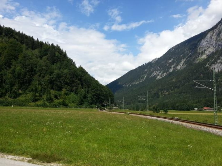
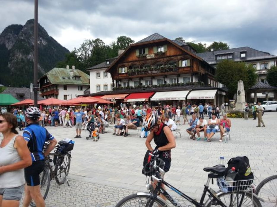
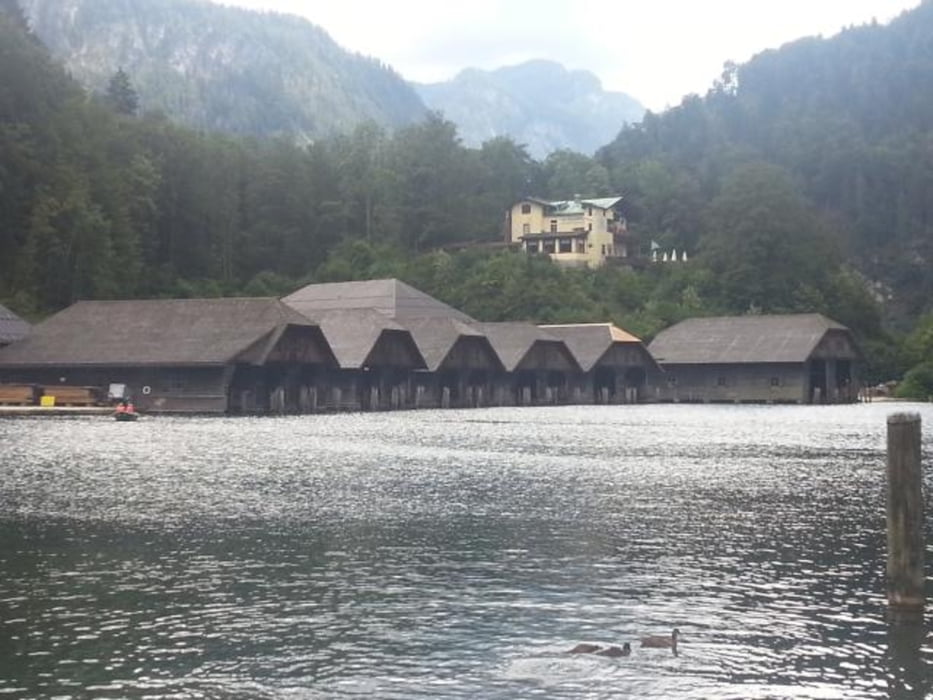
6. Etappe unserer Bodensee-Königsee Tour

Lauter - Oberteisendorf - Teisendorf - Anger - Piding - Bad Reichenhall - Bischofswiesen -
Berchtesgaden - Schönau Königssee


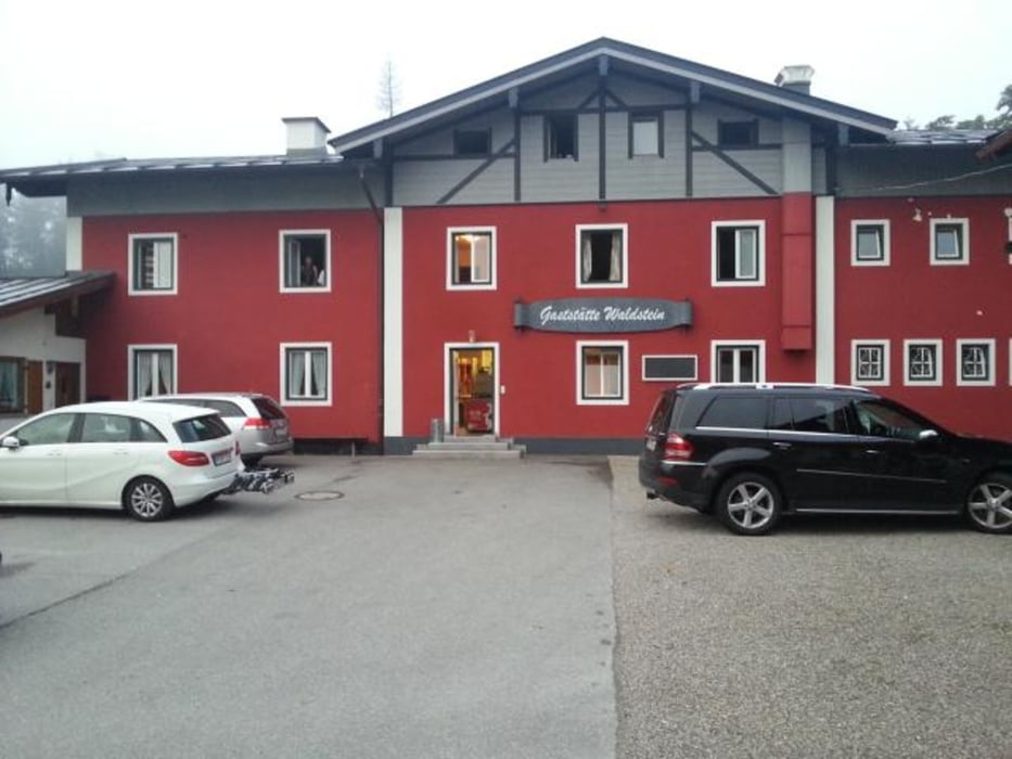
Unterkunft im Gasthof Waldstein in Schönau, gute Küche, rugig gelegen, 10 min. zum Bahnhof Berchtesgaden

ww.gaststaette-waldstein.de


Tour gallery

Tour map and elevation profile

  • Open Street Map
  • Google
Minimum height 450 m Maximum height 724 m Detailed view

More about the tour author

tsx56
Member since 2010

Send private message

Comments

GPS tracks

Trackpoints
  • GPX / Garmin Map Source (gpx) download
  • TCX / Garmin Training Center® (tcx) download
  • CRS / Garmin Training Center® (crs) download
  • Google Earth (kml) download
  • G7ToWin (g7t) download
  • TTQV (trk) download
  • Overlay (ovl) download
  • Fugawi (txt) download
  • Kompass (DAV) Track (tk) download
  • Track data sheet (pdf) download
  • Original file of the author (gpx) download

More about the tour author

tsx56
Member since 2010

Send private message
Share track
Add to my favorites
Remove from my favorites
Edit tags
My score
Rate
Track: Bodensee-Königsee Etappe 6
Type: Trekkingbike
Distance: 64,8 km
Evaluated on:
Duration:
Day(s)
Hour(s)
Minute(s)
Score: Landscape Fun factor Fitness Technique