

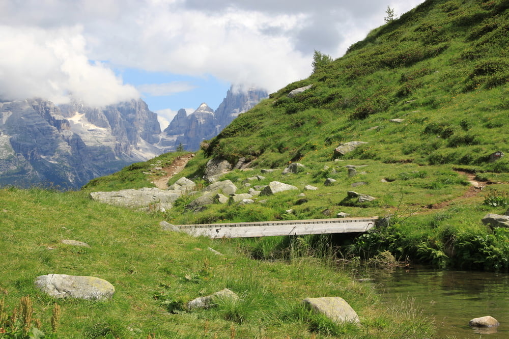
Tolle Wandertour durch die Dolimiten um Madonna di Campiglio.
Startpunkt ist der Bauernhof Malga di Ritort, bei dem man auch einkehren und sehr guten Kaese kaufen kann.
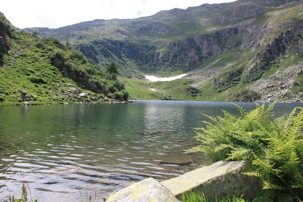
Ein kleiner Waldpfad fuehrt hinauf zum Lago (See) di Ritort. Oben angekommen kann man sich eine kleine Erfrischung um Refugio besorgen oder den See umrunden und toll picknicken.
Die Wanderung geht auf demselben Weg zurueck.
Tour gallery
Tour map and elevation profile
Minimum height 1733 m
Maximum height 2059 m
More about the tour author

|
larne |
Comments

Von Folgarida kommend biegt man auf halber Strecke nach Madonna di Campiglio rechts ab in den Wald. Der Beschilderung folgen zum Bauernhof = Startpunkt.
GPS tracks
Trackpoints-
GPX / Garmin Map Source (gpx) download
-
TCX / Garmin Training Center® (tcx) download
-
CRS / Garmin Training Center® (crs) download
-
Google Earth (kml) download
-
G7ToWin (g7t) download
-
TTQV (trk) download
-
Overlay (ovl) download
-
Fugawi (txt) download
-
Kompass (DAV) Track (tk) download
-
Track data sheet (pdf) download
-
Original file of the author (gpx) download
More about the tour author
|
|
larne |
Add to my favorites
Remove from my favorites
Edit tags
Open track
My score
Rate