


Schöne Tour im Tal des Allier mit einigen Höhenmetern und längerer Pause am Allier selbst.
Dieser Teil der Auvergne ist eine der ursprünglichsten und strukturschwächsten Gegenden Frankreichs. Die Menschen sind eigen und sehr naturverbunden. Manch einer bezeichnet den Landstrich um den Allier als "Bayern Frankreichs".
Further information at
http://de.wikipedia.org/wiki/Allier_(Fluss)Tour gallery


Tour map and elevation profile
Minimum height 508 m
Maximum height 826 m
More about the tour author
|
|
riemchens |
Comments

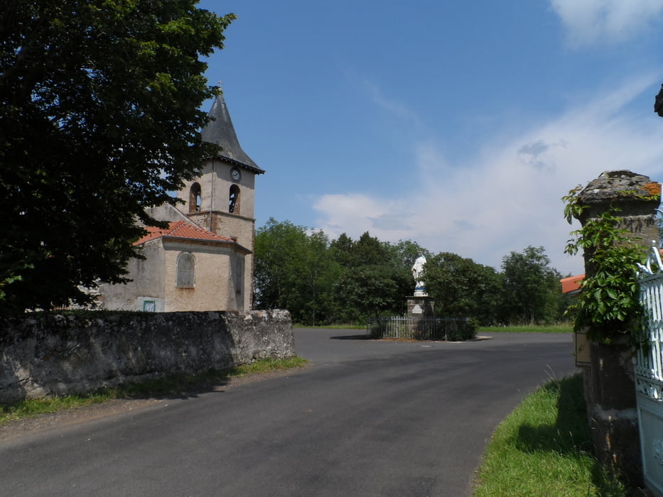
Von Langeac in Richtung Prades sür Allier. Start der Tour ist ein kleiner Campingplatz in Prades sur Allier.
GPS tracks
Trackpoints-
GPX / Garmin Map Source (gpx) download
-
TCX / Garmin Training Center® (tcx) download
-
CRS / Garmin Training Center® (crs) download
-
Google Earth (kml) download
-
G7ToWin (g7t) download
-
TTQV (trk) download
-
Overlay (ovl) download
-
Fugawi (txt) download
-
Kompass (DAV) Track (tk) download
-
Track data sheet (pdf) download
-
Original file of the author (gpx) download
More about the tour author
|
|
riemchens |
Add to my favorites
Remove from my favorites
Edit tags
Open track
My score
Rate