


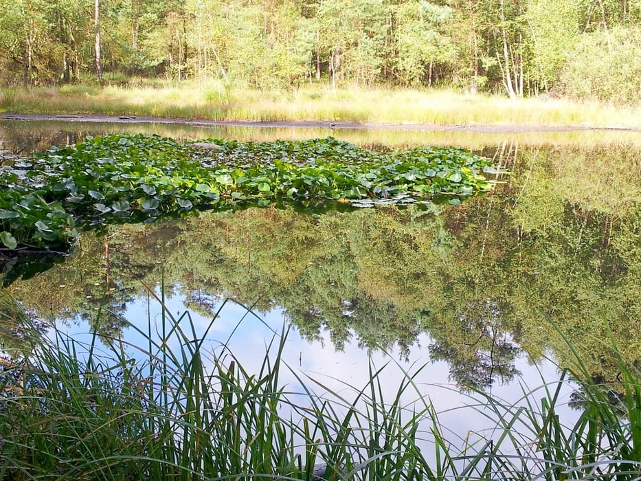
Start dieser Tour war der Bokelfenner Krug in Stuckenbrock - Oerlinghausen. Wir sind diese Strecke im Uhrzeigersinn gewandert mit dem Vorteil, dass wir ein Straßenstück (Industriegebiet Augustdorf) zu Anfang hatten. Vorerst aber gehst Du am Rande des Truppenübungsplatzes lang, durch das Industriegebiet und anschließend, nach einer Rast am Bentsee, in das traumhafte schöne Furlbachtal. Zwischendurch immer wieder Heidefläche.
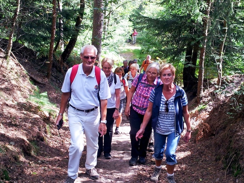
Nach Überquerung der Augustdorfer Str. wandesrt Du durch schöne Tannenwälder, Heidelandschaften, Birkenhaine und viel Wasserläufe zum Parkplatz zurück.
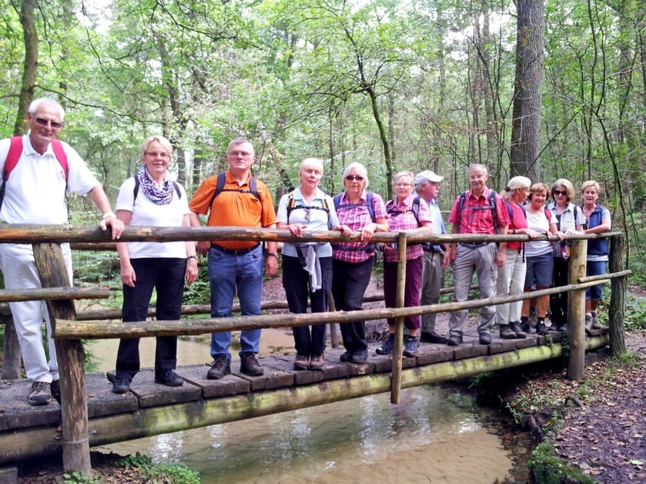
Tour gallery
Tour map and elevation profile
Minimum height 140 m
Maximum height 178 m
More about the tour author
|
|
radrolle48 |
Comments

GPS tracks
Trackpoints-
GPX / Garmin Map Source (gpx) download
-
TCX / Garmin Training Center® (tcx) download
-
CRS / Garmin Training Center® (crs) download
-
Google Earth (kml) download
-
G7ToWin (g7t) download
-
TTQV (trk) download
-
Overlay (ovl) download
-
Fugawi (txt) download
-
Kompass (DAV) Track (tk) download
-
Track data sheet (pdf) download
-
Original file of the author (gpx) download
More about the tour author
|
|
radrolle48 |
Add to my favorites
Remove from my favorites
Edit tags
Open track
My score
Rate