
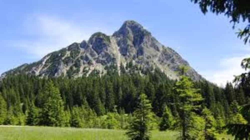

Der 1866 Meter hohe Einstein im Tannheimer Tal ist der Hausberg von Tannheim und ein ausgezeichneter Aussichtsberg. Er steht ein gutes Stück abseits der anderen Berge, sein Kegel ragt weithin sichtbar aus dem Tal empor. Für erfahrene Bergwanderer stellt der felsige Berg bei trockenem Wetter kaum ein Problem dar, der steile Aufstieg erfordert aber einigermaßen gute Kondition. Einkehrmöglichkeit gibt es am Berg nicht, solche findet man unten in den Ortschaften.
Tour map and elevation profile
Minimum height 1060 m
Maximum height 1527 m
More about the tour author
|
|
radlerge |
Comments

GPS tracks
Trackpoints-
GPX / Garmin Map Source (gpx) download
-
TCX / Garmin Training Center® (tcx) download
-
CRS / Garmin Training Center® (crs) download
-
Google Earth (kml) download
-
G7ToWin (g7t) download
-
TTQV (trk) download
-
Overlay (ovl) download
-
Fugawi (txt) download
-
Kompass (DAV) Track (tk) download
-
Track data sheet (pdf) download
-
Original file of the author (gpx) download
More about the tour author
|
|
radlerge |
Add to my favorites
Remove from my favorites
Edit tags
Open track
My score
Rate