


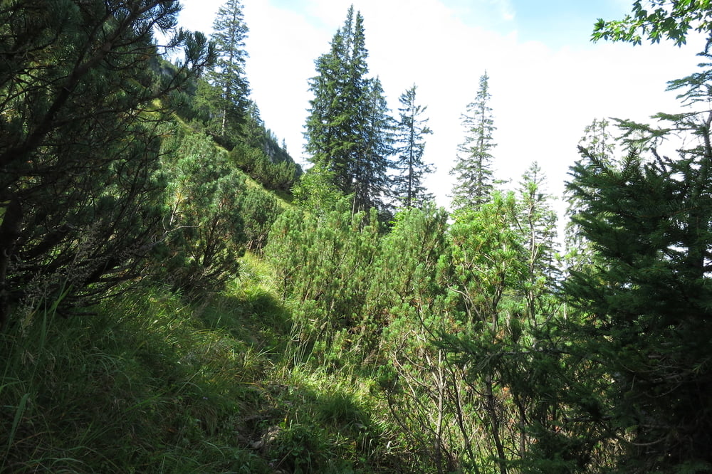
Einsame Bergtour aufs Hintere Sonnwendjoch.
Ausgangspunkt Wanderparkplatz ca. 300m vor dem Forsthaus Valepp.
Zum Parkplatz über die Mautstraße Enterrottach-Forsthaus Valepp (Tegernsee/Rottach-Egern).
Schmale und steile Bergpfade sowie Forststraßen und Almwege.
Aufstieg ca. 4 Std, Abstieg etwa 2,5 Std (Zeiten ohne Pausen).
Die Tour ist nach Regenfällen nicht zu empfehlen, da die Wege teilweise über Wiesen führen.
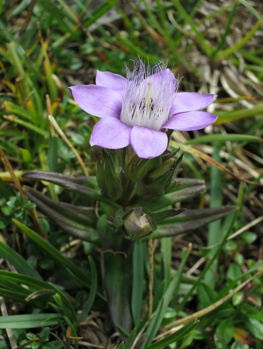
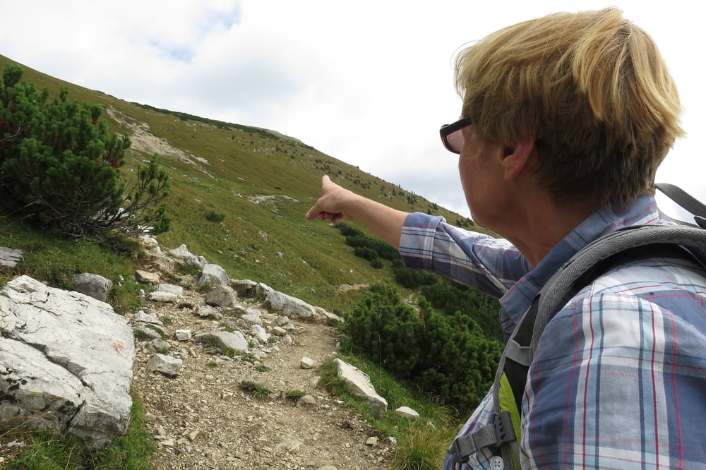
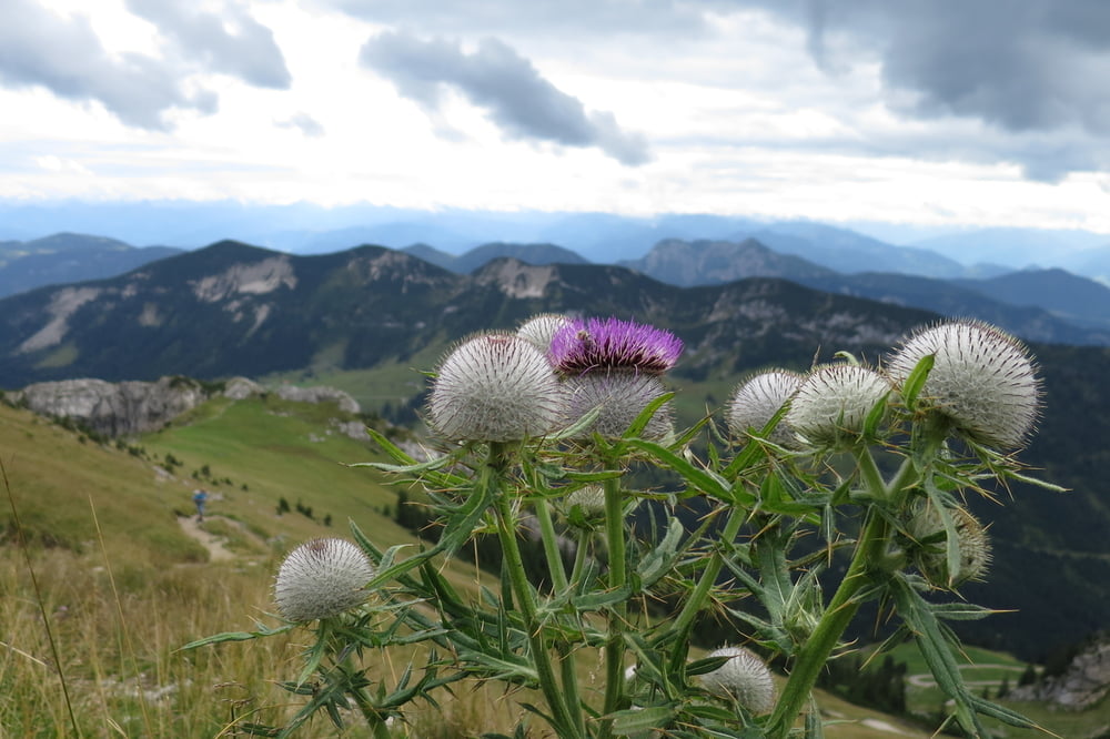
Tour gallery
Tour map and elevation profile
Minimum height 878 m
Maximum height 1995 m
More about the tour author

|
wolli2009 |
Comments

Tegernsee-Rottach/Egern-Enterrottach-Forsthaus Valepp.
GPS tracks
Trackpoints-
GPX / Garmin Map Source (gpx) download
-
TCX / Garmin Training Center® (tcx) download
-
CRS / Garmin Training Center® (crs) download
-
Google Earth (kml) download
-
G7ToWin (g7t) download
-
TTQV (trk) download
-
Overlay (ovl) download
-
Fugawi (txt) download
-
Kompass (DAV) Track (tk) download
-
Track data sheet (pdf) download
-
Original file of the author (gpx) download
More about the tour author
|
|
wolli2009 |
Add to my favorites
Remove from my favorites
Edit tags
Open track
My score
Rate