Login

Forgot your login?

Cookies have to be accepted!
Your browser's cookie functionality is disabled. Please enable this functionality.

Not a member yet?

Register now
Login

Available for registred users only

Log in to use this feature.

Forgot your login?

Cookies have to be accepted!
Your browser's cookie functionality is disabled. Please enable this functionality.

Not a member yet?

Register now
Filter
Categories
Advanced filters
  • Distance (km)
  • Height
Save filters Reset filter

TrackRank

QRCode

Technical data

Distance21,8 km Height244 m Way down214 m Duration01:31 h:m Date09.09.2014
Scores Author Landscape Fun factor Fitness Technique

Statistics

208 Views Scores 5 Downloads Average
Rate
  • Track data sheet
  • Directions
  • Downloads

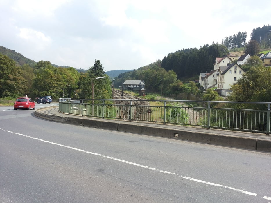
Start in der Falkenstraße und über Lingen, Mesenhohl und Oeckinghausen weiter nach Schaksmühle. Über die B 54 bis Brügge und die B 229 hoch nach Ostendorf und hinunter ins Tal bis zum "Deutschen Eck", nach li. über Bochen und den "Schnurrenweg" zurück


Tour gallery

Tour map and elevation profile

  • Open Street Map
  • Google
Minimum height 229 m Maximum height 408 m Detailed view

More about the tour author

neuser
Member since 2010

Send private message

Comments

GPS tracks

Trackpoints
  • GPX / Garmin Map Source (gpx) download
  • TCX / Garmin Training Center® (tcx) download
  • CRS / Garmin Training Center® (crs) download
  • Google Earth (kml) download
  • G7ToWin (g7t) download
  • TTQV (trk) download
  • Overlay (ovl) download
  • Fugawi (txt) download
  • Kompass (DAV) Track (tk) download
  • Track data sheet (pdf) download
  • Original file of the author (gpx) download

More about the tour author

neuser
Member since 2010

Send private message
Share track
Add to my favorites
Remove from my favorites
Edit tags
My score
Rate
Track: Halver-Kurztour über Schalksmühle, Brügge und zurück über den Schnurrenweg
Type: Bicycle tours
Distance: 21,8 km
Evaluated on:
Duration:
Day(s)
Hour(s)
Minute(s)
Score: Landscape Fun factor Fitness Technique