


Ab St. Christoph geht es sehr stark bergauf. Vorbei an der Ulmner Hütte bis auf einen Gipfel.
Ab da bleibt man fast immer auf gleicher Höhe bis zum Abstieg, welcher aber durch Kehren nicht so steil ist.Bei Koordinate O 010°14'47''kann man ein Stück Klettersteig umgehen (Kinder und Ungeübte)ansonsten kommt man mit festem Schuhwerk gut zurecht.Wenn man in St. Jakob ankommt, ist es möglich, je nach Jahreszeit mit dem Bus wieder zum Startpunkt zu fahren.
Man ist gut 5 Std. unterwegs.
Tour gallery
Tour map and elevation profile
Minimum height
Maximum height
More about the tour author

|
GPS-User |
Comments

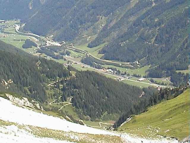
Richtung Arlbergpass
GPS tracks
Trackpoints-
GPX / Garmin Map Source (gpx) download
-
TCX / Garmin Training Center® (tcx) download
-
CRS / Garmin Training Center® (crs) download
-
Google Earth (kml) download
-
G7ToWin (g7t) download
-
TTQV (trk) download
-
Overlay (ovl) download
-
Fugawi (txt) download
-
Kompass (DAV) Track (tk) download
-
Track data sheet (pdf) download
-
Original file of the author (g7t) download
More about the tour author
|
|
GPS-User |
Add to my favorites
Remove from my favorites
Edit tags
Open track
My score
Rate