

Die Tour führt von der Steigalm ins Tal nach Korb. Über den Philosophenweg geht´s nach Hachenburg. Danach fahren wir zum Kloster Marienstatt, dem tiefsten Punkt der Tour. Aus dem Tal der Nister heraus folgen wir dem Höhenkamm an Streithausen vorbei Richtung Nauberg bis nach Norken. kurz später überqueren wir die B 414 und stützen und anschließend die Skipiste in Kirburg runter. Der letzte Berg führt uns von den Bölsberger Fischweiher Richtung Eisenkaute und zurück zur Steigalm.
Tour gallery


Tour map and elevation profile
Minimum height 246 m
Maximum height 560 m
More about the tour author
|
|
pro-racing |
Comments

In Bad Marienberg immer Richtung Wildpark / Steigalm fahren.
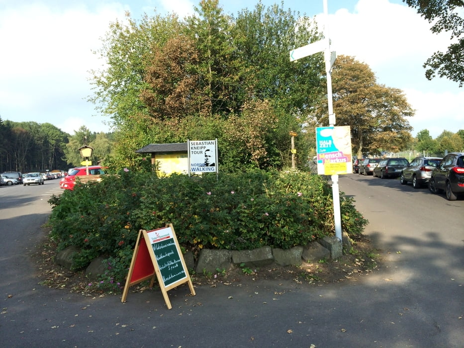
Die Tour startet am Parkplatz vor der Steigalm.
GPS tracks
Trackpoints-
GPX / Garmin Map Source (gpx) download
-
TCX / Garmin Training Center® (tcx) download
-
CRS / Garmin Training Center® (crs) download
-
Google Earth (kml) download
-
G7ToWin (g7t) download
-
TTQV (trk) download
-
Overlay (ovl) download
-
Fugawi (txt) download
-
Kompass (DAV) Track (tk) download
-
Track data sheet (pdf) download
-
Original file of the author (gpx) download
More about the tour author
|
|
pro-racing |
Add to my favorites
Remove from my favorites
Edit tags
Open track
My score
Rate