


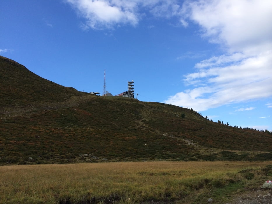
Von der Zamser Skihütte geht es auf den Krahberg. Die gut 450 Höhenmeter sind nicht durchgehend fahrbar (zumindest für mich nicht), es sind einige Schiebe- / Tragepassagen dabei. Dafür wird man mit einem herrlichen Blick auf Landeck und ins Oberinntal entschädigt.
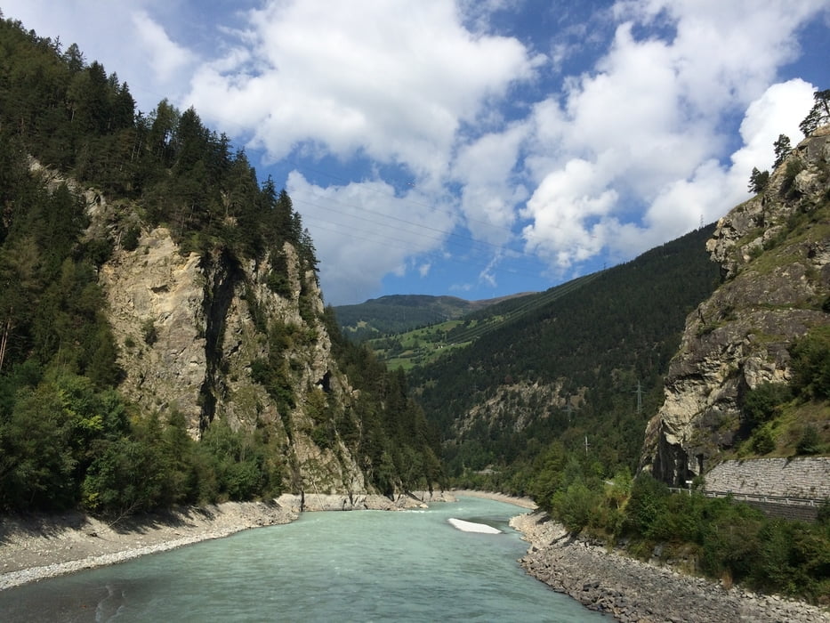
Nach dem Abstieg nach Fliess geht es im Tal weiter bis Pfunds, kurz danach folgt man der Straße bis zur Grenzstation Martina. Noch ein paar Kehren hoch bis zur Norbertshöhe (ca. 1400 m) und man hat es fast geschafft.
Die Strecke ist ab Fliess sehr einfach zu fahren, leider auch relativ viel (kurz nach Pfunds) auf der Straße.
Tour gallery
Tour map and elevation profile
Minimum height 872 m
Maximum height 2210 m
More about the tour author

|
a_moser |
Comments

GPS tracks
Trackpoints-
GPX / Garmin Map Source (gpx) download
-
TCX / Garmin Training Center® (tcx) download
-
CRS / Garmin Training Center® (crs) download
-
Google Earth (kml) download
-
G7ToWin (g7t) download
-
TTQV (trk) download
-
Overlay (ovl) download
-
Fugawi (txt) download
-
Kompass (DAV) Track (tk) download
-
Track data sheet (pdf) download
-
Original file of the author (gpx) download
More about the tour author
|
|
a_moser |
Add to my favorites
Remove from my favorites
Edit tags
Open track
My score
Rate