


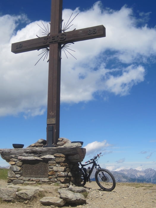
Schöne Tour von Fiss aufs Schönjoch mit einer anspruchsvollen Trailabfahrt.
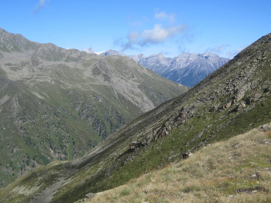
Von Fiss gehts über Rabuschl zur Schöngamalm, dann auf einem neu angelegten Weg rauf zum Fisser Joch
Achtung: Hier herrscht ausgeprägter Seilbahntourismus! Schönjoch. Mir ist da sowohl ein hochgegondeltes Puky-Kinderrad als auch ein altes Dreigangrad mit hinten angebautem Kindersitz entgegengekommen...
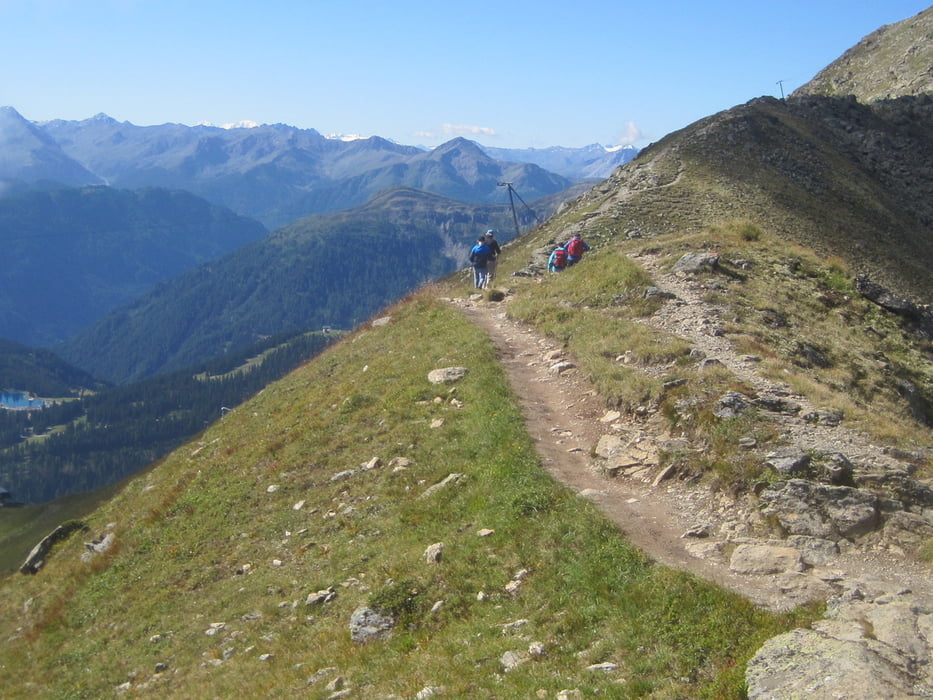
Von da gehts übers Schönjöchl zum Frommes Kreuz. Hier beginnt dann der Frommestrail. Das letzte Stück von der Frommeshütte bis zur Frommesalp ist etwas hakelig, es ist etwas verblockt und es hat einige Wurzel. Nicht zuletzt gibts hier auch einige Wanderer. Achtung: Diese bitte umfahren und nicht umfahren!
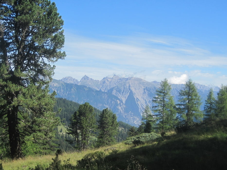
Anschließend gehts die Schotterpiste runter nach Fiss.
Further information at
http://www.serfaus-fiss-ladis.at/deTour gallery
Tour map and elevation profile
Minimum height 1434 m
Maximum height 2496 m
More about the tour author
|
|
Wayneschlegell |
Comments

Start in Fiss - City.
GPS tracks
Trackpoints-
GPX / Garmin Map Source (gpx) download
-
TCX / Garmin Training Center® (tcx) download
-
CRS / Garmin Training Center® (crs) download
-
Google Earth (kml) download
-
G7ToWin (g7t) download
-
TTQV (trk) download
-
Overlay (ovl) download
-
Fugawi (txt) download
-
Kompass (DAV) Track (tk) download
-
Track data sheet (pdf) download
-
Original file of the author (gpx) download
More about the tour author
|
|
Wayneschlegell |
Add to my favorites
Remove from my favorites
Edit tags
Open track
My score
Rate