

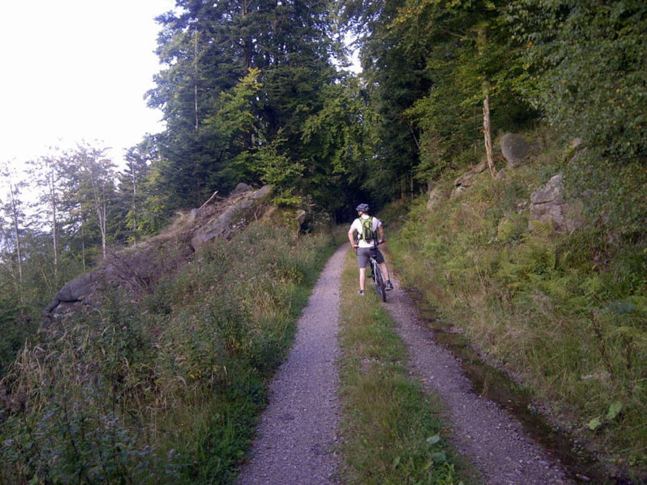
Startpunkt ist der Waldparkplatz Wasserfall Baden-Baden. An der Lanzenkopferbrücke in Richtung Grobbachhof. Diesen lassen wir rechts liegen und fahren weiter bergauf in Richtung Plättig. Vor dem Fechtheim auf dem Waldparkplatz fahren wir links auf den Rohsoodweg in Richtung Bernsteinweg. Wir wählten diesen Weg, da dieser sehr schön und angenehm zu fahren ist.
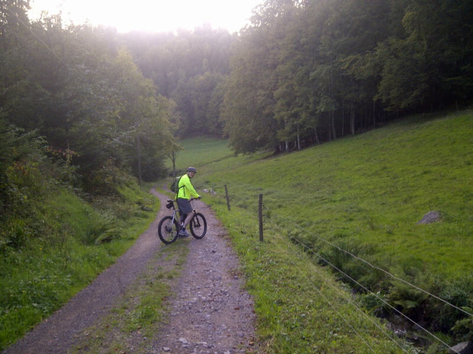
Auf dem Bernsteinweg über die Mittelfeldhütte in Richtung Scherrhof. Schöner Weg, der ab und zu den Blick auf Baden-Baden zulässt. Vom Scherrhof ging es schnell wieder bergab in Richtung Bütthof.
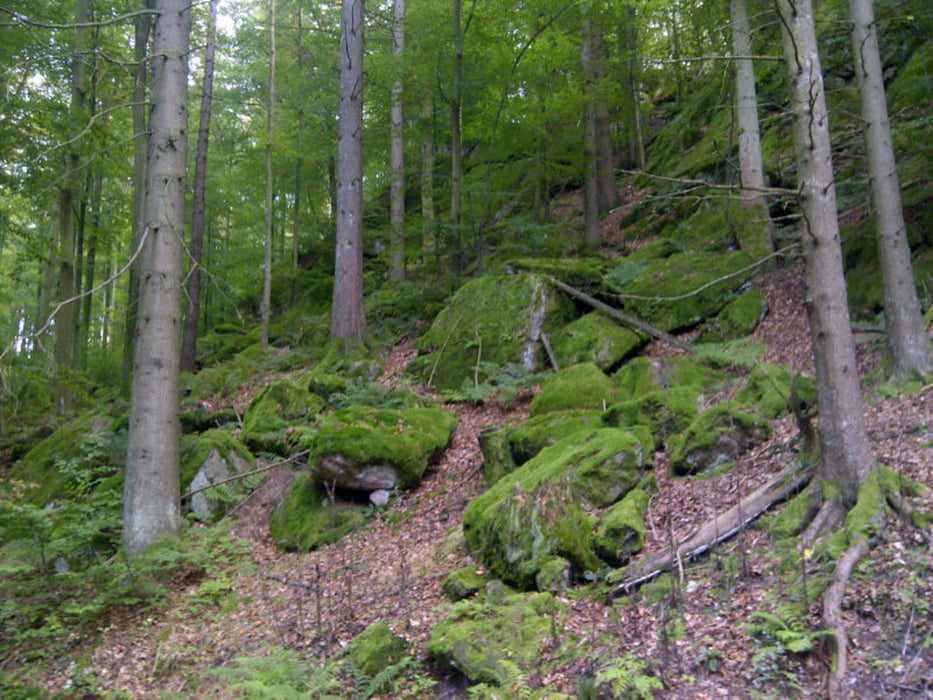
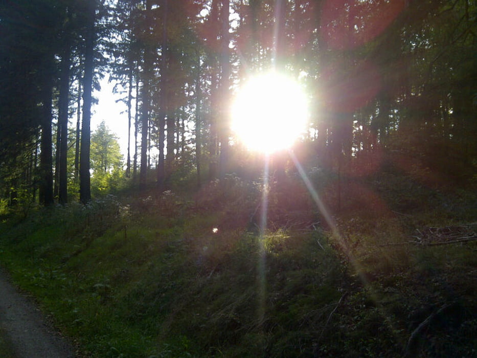
Tour gallery
Tour map and elevation profile
Minimum height 320 m
Maximum height 774 m
More about the tour author

|
thheinz |
Comments

GPS tracks
Trackpoints-
GPX / Garmin Map Source (gpx) download
-
TCX / Garmin Training Center® (tcx) download
-
CRS / Garmin Training Center® (crs) download
-
Google Earth (kml) download
-
G7ToWin (g7t) download
-
TTQV (trk) download
-
Overlay (ovl) download
-
Fugawi (txt) download
-
Kompass (DAV) Track (tk) download
-
Track data sheet (pdf) download
-
Original file of the author (gpx) download
More about the tour author
|
|
thheinz |
Add to my favorites
Remove from my favorites
Edit tags
Open track
My score
Rate